Southern California Health & Air Quality (Fall 2021)
Team: Michael Enz (Project Lead), Melanie Leung, Maya Zimmerman, Jonathan Van Dermark, and Petra Nichols
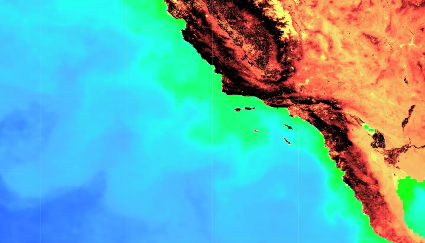
Summary: In 2020, the dinoflagellate species Lingulodinium polyedra was measured at unprecedented levels off the southern California coast, raising concern for local communities. At high levels, L. polyedra can cause marine life mortality, food-borne illness, and respiratory-related health risks in humans. In partnership with the California Office of Environmental Health Hazard Assessment, the National Oceanic and Atmospheric Administration Southwest Fisheries Science Center, the California Department of Public Health, and the University of California San Diego’s Scripps Institution of Oceanography, this project utilized satellite imagery to visualize and analyze spatiotemporal trends of historical red tide events associated with L. polyedra. Using the Suomi National Polar-orbiting Partnership’s (NPP) Visible Infrared Imaging Radiometer Suite (VIIRS), Aqua’s Moderate Resolution Imaging Spectroradiometer (MODIS), and Global Change Observation Mission – Climate (GCOM-C) Second Generation Global Imager (SGLI), the team assessed the validity of using multiple sensors in detecting chlorophyll-a as a proxy for dinoflagellate dominated-algal blooms. The results suggest that VIIRS imagery processed using the Color Index algorithm from Hu et al. (2013), amongst all other algorithms and Earth observations assessed, shows the most promise in identifying L. polyedra blooms. The end products included an ArcGIS Dashboard and Google Earth Engine tool that when combined, provided users with spatial and temporal trends, interactive interfaces to analyze the effectiveness of various sensors and algorithms, and an overall contribution to aid in the management of human health and the economy impacted by harmful algal blooms.
Deliverables:

