Coastal Virginia ecological conservation (2024 Spring)
Team: Katherine Kivimaki (Project Lead), Brooklyn Appling, Sean Asbrand, Mitchell Johnson
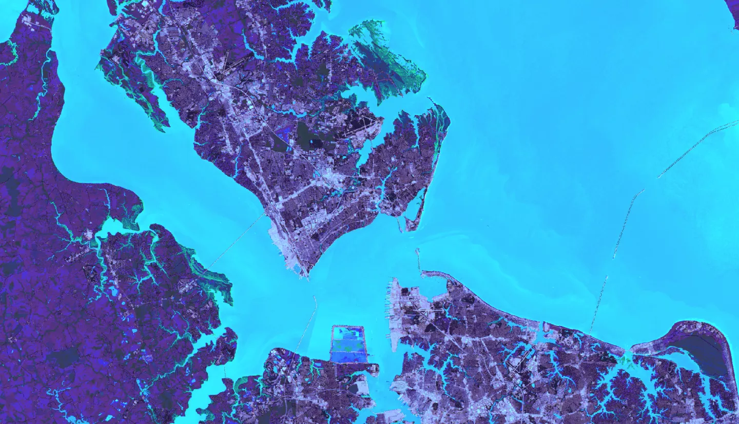
Summary: Wetlands provide many ecosystem services to coastal regions, such as water quality improvement, carbon sequestration, and flood control. However, sea-level rise poses a threat to wetlands and coastal communities. Wetland areas are declining as they are forced to migrate inland, and communities are exposed to heightened risks of inundation and storm surge. We partnered with Wetlands Watch, an environmental non-profit that aims to protect wetlands through education, advocacy, and community engagement. This project used Landsat satellites, lidar-derived products, and tidal data to determine the vulnerability of tidal wetlands and predict migration patterns. We conducted a binary suitability analysis, using maximum wetland migration capacity, slope, future locations of the intertidal zone, and anthropogenic barriers to estimate the future extent of wetlands on a decadal scale from 2030 to 2100. By the end of the century, we estimated a 78% decline in tidal wetland area. We also identified developed land suitable for being re-naturalized to facilitate wetland migration. Minimally urbanized and agricultural lands that overlap with potential locations for tidal wetlands are the most optimal for being converted. However, re-naturalization does not mitigate the overall wetland loss observed through the end of the century. This data can be used by Wetlands Watch to communicate the rising threat that wetlands face in response to sea-level rise and underscores the feasibility of using remote sensing to study and predict this process. These preliminary findings highlight the need for further research to better understand wetland migration, loss, and prioritization for conservation efforts.


