Peru Health & Air Quality II (Fall 2021)
Team: Jennifer Rogers (Project Lead), Melanie Cabrera, Gayatri Girirajan, and Julianne Liu
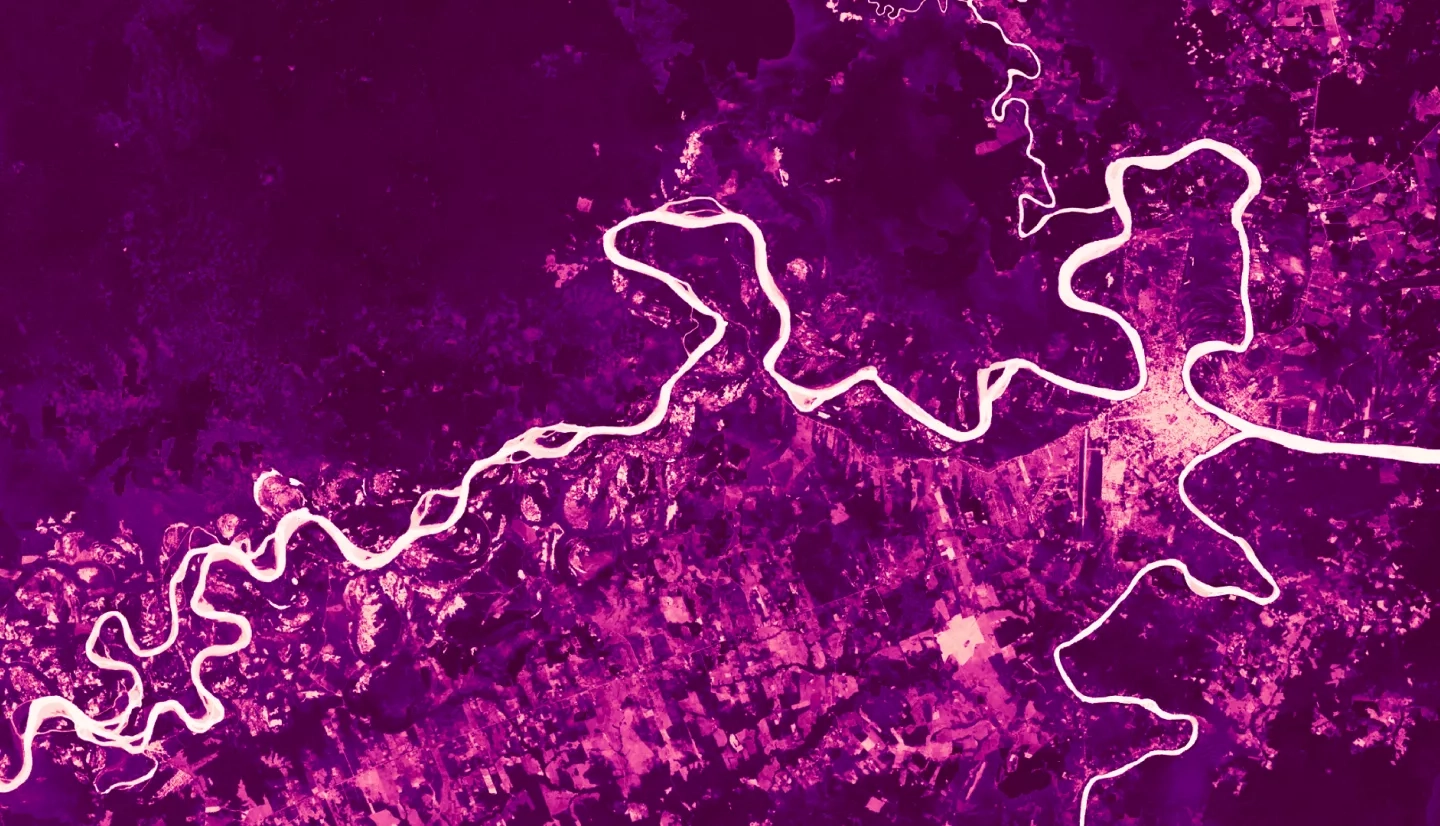
Summary: Peru's Madre de Dios region is a hotspot for dengue fever and leishmaniasis due to its tropical Amazonian climate. Though treatable, these zoonotic diseases are debilitating for under-resourced communities whose already close proximity to mosquito and sandfly vectors continues to increase via rapid urbanization and deforestation. Peru’s Ministries of Health (MINSA) and Environment (MINAM) are working to better understand the environmental factors amplifying the risk of dengue fever and leishmaniasis transmission. The first term of this project classified the land use and land cover of Madre de Dios’ 11 districts for 2010, 2015, and 2020 and identified a correlation between both diseases and urbanization. Our team expanded this analysis by creating urban-forest edge maps and incorporating climatic and topographic variables with data from Landsat 7 Enhanced Thematic Mapper Plus (ETM+), Landsat 8 Operational Land Imager (OLI), the Global Precipitation Measurement (GPM) Integrated Multi-satellitE Retrievals for GPM (IMERG), and the Shuttle Radar Topography Mission (SRTM). We determined these variables’ impacts on disease incidence by assessing existing literature and running regression models. Dengue fever correlated with urban-forest edge, urban area, slope, temperature, and precipitation. Leishmaniasis primarily correlated with forest-edge area and elevation, but lacking additional statistical significance prevented further work, a decision supported by the literature. Thus, the risk matrix and risk map which we scripted in R to visualize the risk of disease posed to districts alongside health post locations addresses only dengue fever. The results and products will inform MINSA and MINAM in public health interventions, resource distribution, and policy initiatives.
Deliverables:


