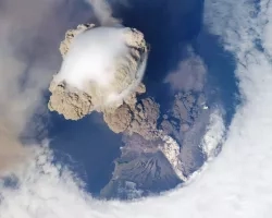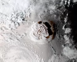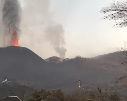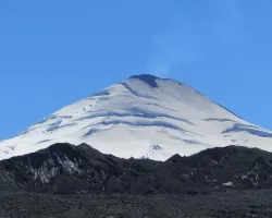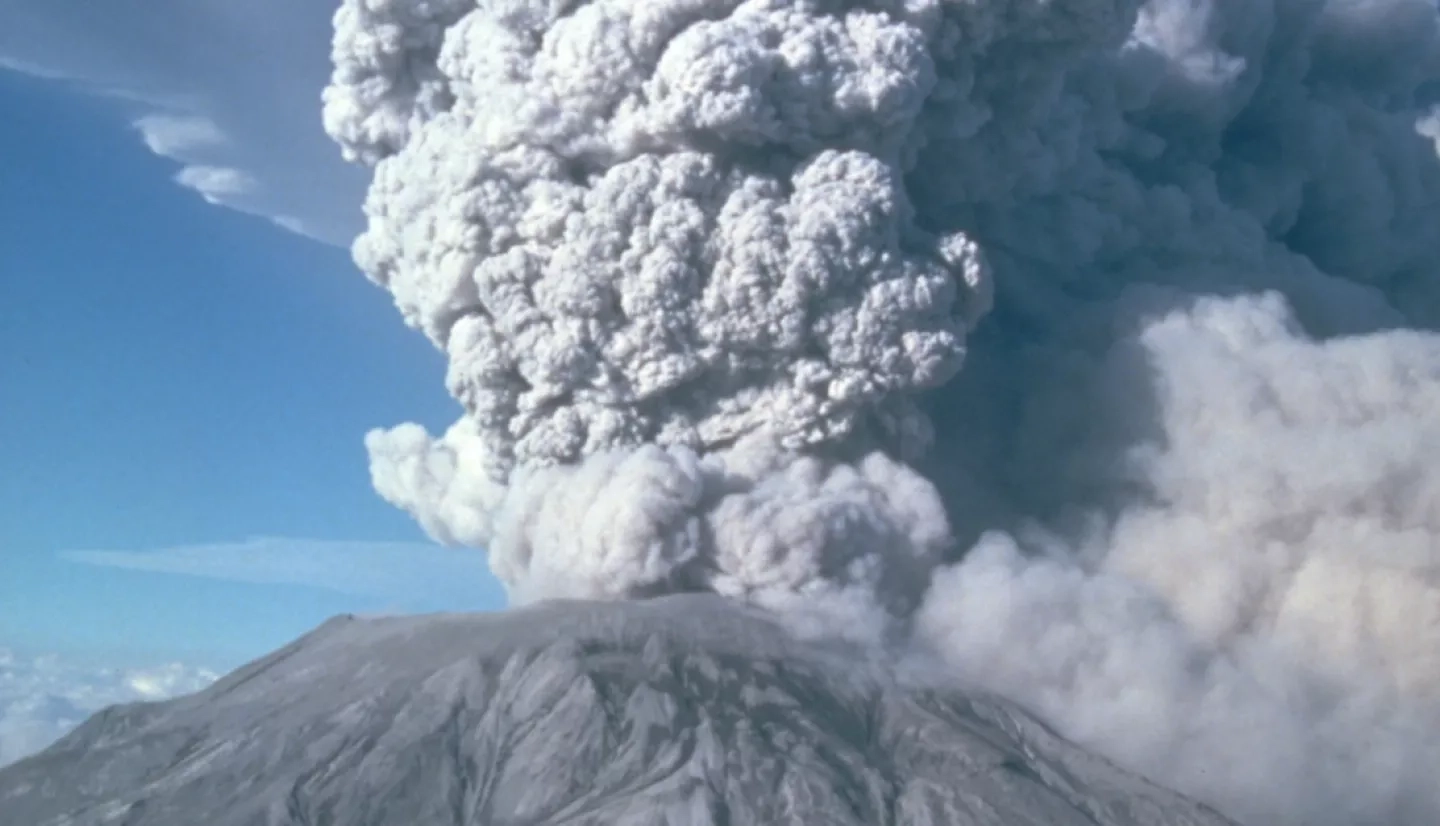
The impact of volcanic eruptions can be felt from hundreds of miles away. Volcanic ash and pyroclastic flows are filled with sulfur dioxide and metal-like particles that can infringe on humanity’s safety, health, and economic well-being. As magma (molten rock) rises from deep inside Earth, tectonic plates shift, leading to an eruption. Eruptions release rocks, heat, and gases such as carbon dioxide, sulfur, acid, and water into the atmosphere.
In addition to volcanoes’ direct physical danger, they can also lead to power outages, poor air quality, wildfires, and disruptions to aviation. That’s why mapping and predicting such hazards is crucial. NASA provides unique data products and insights to assist with mapping damage and tracking air quality impacts from volcanoes.
EARTH OBSERVING DATA
NASA DISASTERS MAPPING PORTAL
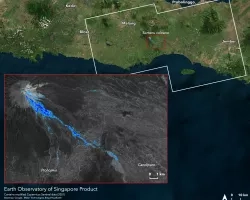
The NASA Disasters Mapping Portal is a powerful online interface for viewing, analyzing, and downloading the latest near real-time and disaster specific products in Geographic Information Systems (GIS) format. The Portal provides a variety of near real-time and event-specific products for monitoring the impacts of volcanoes to support disaster response and recovery.
For a full list of NASA Disasters Mapping Portal products for volcanoes, please refer to the NASA Disasters Mapping Portal Product Guide
To learn more about NASA data products available to support fires, visit NASA EarthData Products for Volcanoes.
View fullscreen on the NASA Disasters Mapping Portal
APPLIED RESEARCH
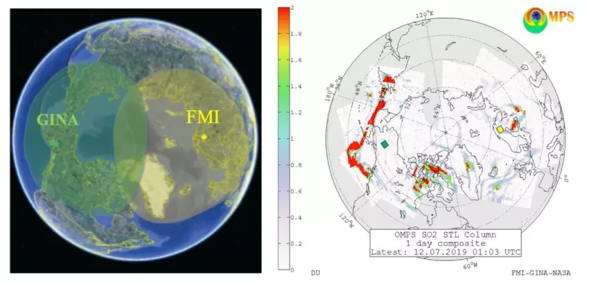
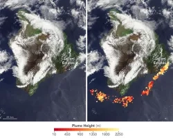
Day-Night Monitoring of Volcanic SO2 and Ash for Aviation Avoidance at Northern Polar Latitudes: Enhancing Direct Readout capabilities from EOS, SNPP and NOAA20
Volcanic ash clouds pose a great danger to air traffic safety, leading to flight cancellations and creating a ripple effect on the airline industry’s economy. Real time satellite observations can provide crucial information for re-routing air traffic around the hazardous volcanic clouds. This project aims to critically improve direct-readout (DR) satellite products to monitor volcanic ash clouds and forest fire smoke plumes.
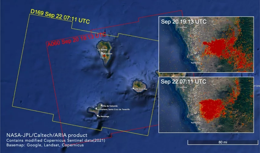
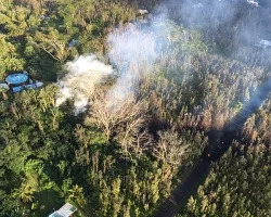
GLOBAL RAPID DAMAGE MAPPING SYSTEM WITH SPACEBORNE SAR DATA
This project works with the NASA JPL ARIA team to develop “Damage Proxy Maps” using Synthetic Aperture Radar (SAR) data, which can help identify damaged buildings and infrastructure from fires and other disasters. The same technique can also be used to identify changes to land and vegetation from lava, ash and pyroclastic flows.