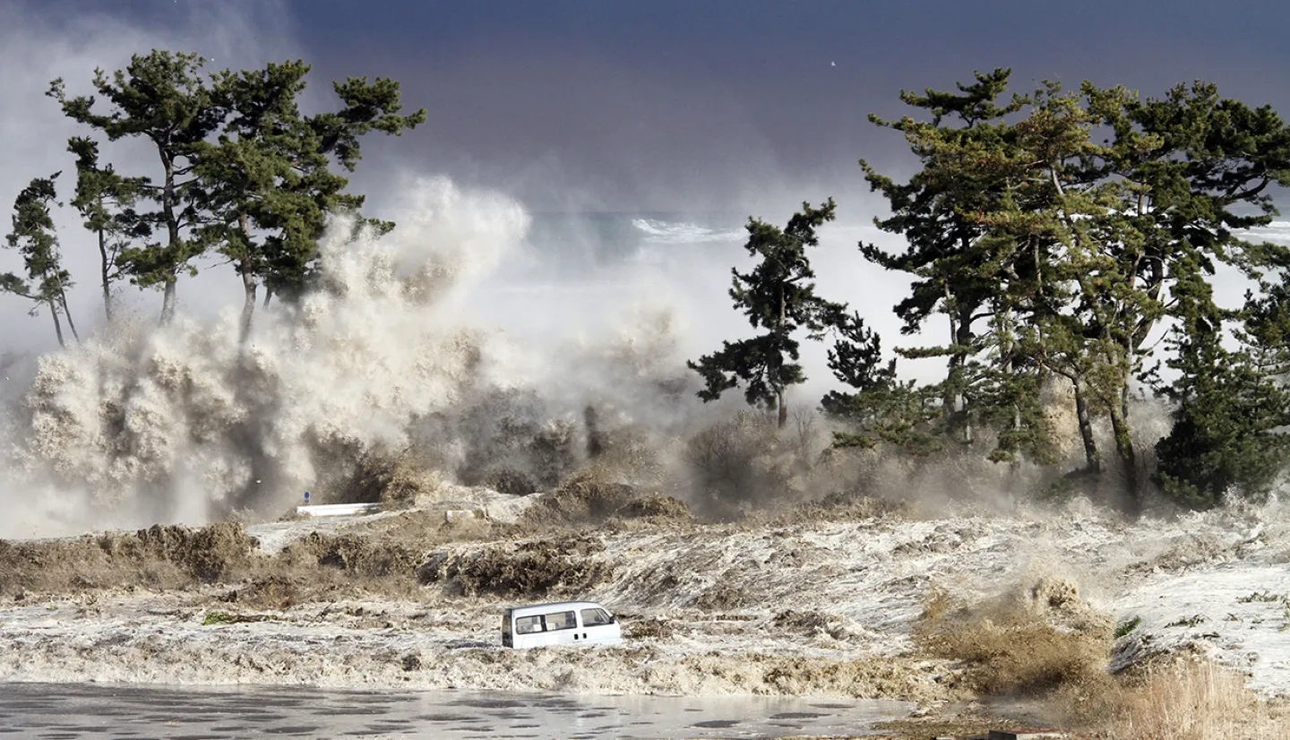
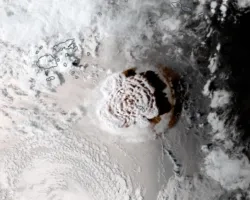
Tsunamis are ocean waves triggered by earthquakes that occur near or under the ocean, volcanic eruptions, submarine landslides, or onshore landslides in which large volumes of debris fall into the water. Compared to other hazards such as hurricanes or forest fires that occur annually, large tsunamis are infrequent. However, when a large tsunami impacts a populated coastal region, the effects can be devastating. Waves of over 100 feet tall can bring massive volumes of water miles inland, destroying everything in their path.
On December 26, 2004, an earthquake off the coast of Sumatra, Indonesia, brought waves of up to 100 feet to coastal communities in the region, resulting in the deaths of over 200,000 people in 14 countries, making it one of the deadliest disasters in recorded history. On March 11, 2011, an earthquake off the coast of Tohoku, Japan, caused tsunami waves that reached ~6 miles inland and ~133 feet above sea level, resulting in the deaths of over 16,000 people and billions of dollars in damage to infrastructure, including major damage to the Fukushima nuclear power plant. The World Bank estimated it to be the costliest natural disaster in world history.
According to the U.N., 58 tsunamis claimed more than 260,000 lives, or an average of 4,600 per disaster in the last century, surpassing any other natural hazard. By the end of this decade, 50% of the world's population will live in coastal areas exposed to flooding, storms, and tsunamis. Having plans and policies to reduce tsunami impacts helps build resilience and protect communities most at risk.
NASA’s expertise and access to Earth-observing data are a valuable tool to help understand the mechanisms behind tsunamis and mitigate their risk to society. Reducing evacuation start time is the most critical variable in saving lives when a tsunami is imminent, and rapid access to accurate and easy-to-understand information will equip local and regional leaders to order critical life-saving evacuations as quickly as possible. That’s why NASA actively supports research to understand tsunami hazards and modernize local tsunami forecasting and early warning systems.
Applied Research
Local Tsunami Early Warning with GNSS Earthquake Source Products
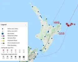
A team of researchers from the University of Oregon, the University of Washington, and Central Washington University is developing a tsunami early warning system using data from a network of over 1,600 Global Navigation Satellite System (GNSS) ground stations. When tectonic activity is detected by these ground stations, the ground movement data processed by models, which determine the likelihood of a tsunami. These data are then sent to the Geodetic First Approximation of Size and Timing (GFAST) system at NOAA, which generates tsunami warnings to be broadcast to the affected regions.
Earth Observing Data
Global Navigation Satellite System (GNSS)
This network of satellites and ground stations provides autonomous geo-spatial positioning with global coverage. The GNSS network can rapidly detect tectonic activity. That activity data can feed into models that predict potential tsunami activity as well as into tsunami warning systems to help evacuate at-risk regions rapidly.
SAR-based Damage Proxy Maps and Flood Proxy Maps
Synthetic Aperture Radar (SAR) instruments can detect fine-scale changes on Earth’s surface. These instruments have the capability to see through the clouds, and measure in both day and nighttime. By comparing SAR measurements before and after an event, researchers from NASA’s Disasters and ARIA programs and their partners can generate maps to identify potentially damaged buildings and infrastructure or assess the extent of floodwaters in the wake of tsunamis.
SAR-based Interferograms
The same SAR technology can be used to generate interferograms which quantify the amount of ground displacement from earthquakes. This can help researchers understand the links between tectonic activity and tsunamis, and develop models to forecast their intensity.
Community Partnerships
External Resources


