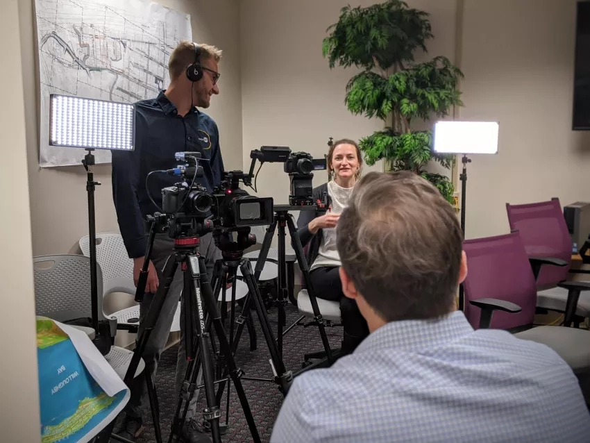
The first interviews for a brand-new, regularly occurring segment on NASA TV are "in the can." NASA Science Live is a monthly program airing on NASA TV, focusing on NASA research and people. For this first segment, it highlighted work supported by the Disasters program area on how city managers in Virginia and others are using NASA Earth observations to help communities prepare for flooding and sea level rise.
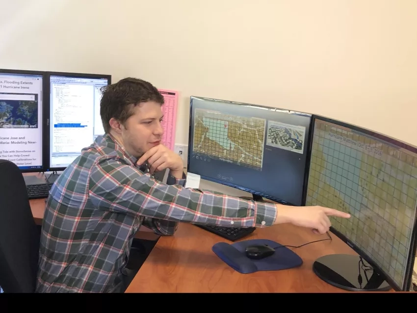
In Norfolk, Virginia flooded streets are a regular occurrence – even on sunny days. Derek Loftis, an assistant research scientist at the Virginia Institute of Marine Science, and Kyle Spencer, deputy resilience officer with the city of Norfolk, worked with the NASA Earth Applied Sciences Disasters program area to integrate satellite data in a high-resolution flood website. City planners and emergency managers are using this “street-level model” to run detailed flood simulations, down to the building level.
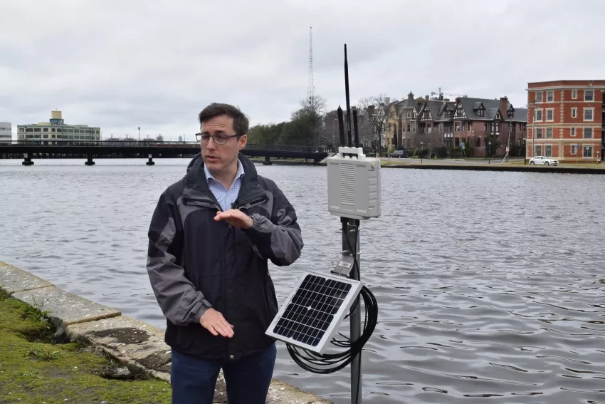
Spencer showed the crew areas of Norfolk that regularly flood, and water sensors and rain gauges he put in place to track levels as tides, storms and sea level rise drive water into the city.
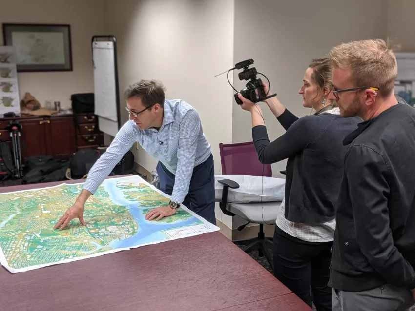
Loftis showed the crew how the high-resolution flood website can be used to run different scenarios and show which streets flood very frequently, information that city managers can use for planning future construction efforts.
This episode of the NASA TV program can be viewed at 3:00 p.m. ET on March 26 at the NASA Science Live website.
