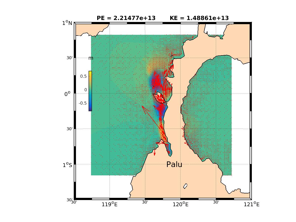
NASA and NOAA are collaborating to develop a Global Navigation Satellite System (GNSS) based tsunami early-detection system. GNSS based tsunami early-detection systems allow for rapid and more accurate tsunami warnings. Some of the technology components from NASA/NOAA's GNSS based tsunami early-detection system prototype have been transferred to NOAA’s Tsunami Warning Centers for testing. The prototype system was running at NASA’s Jet Propulsion Laboratory (JPL) during the Palu, Indonesia event. Results were generated from the prototype system within 14 minutes after the earthquake, and forwarded to Tsunami Warning Centers. Previously, earthquake magnitude has been the key parameter for tsunami early warning. In some cases, earthquake magnitude often does not scale the resulting tsunami, like the Palu event. The new NASA/NOAA system uses both GNSS and seismic data to detect tsunami energy scale for early warning. In the future, systems like these will provide rapid tsunami warnings and therefore save lives.


