Description
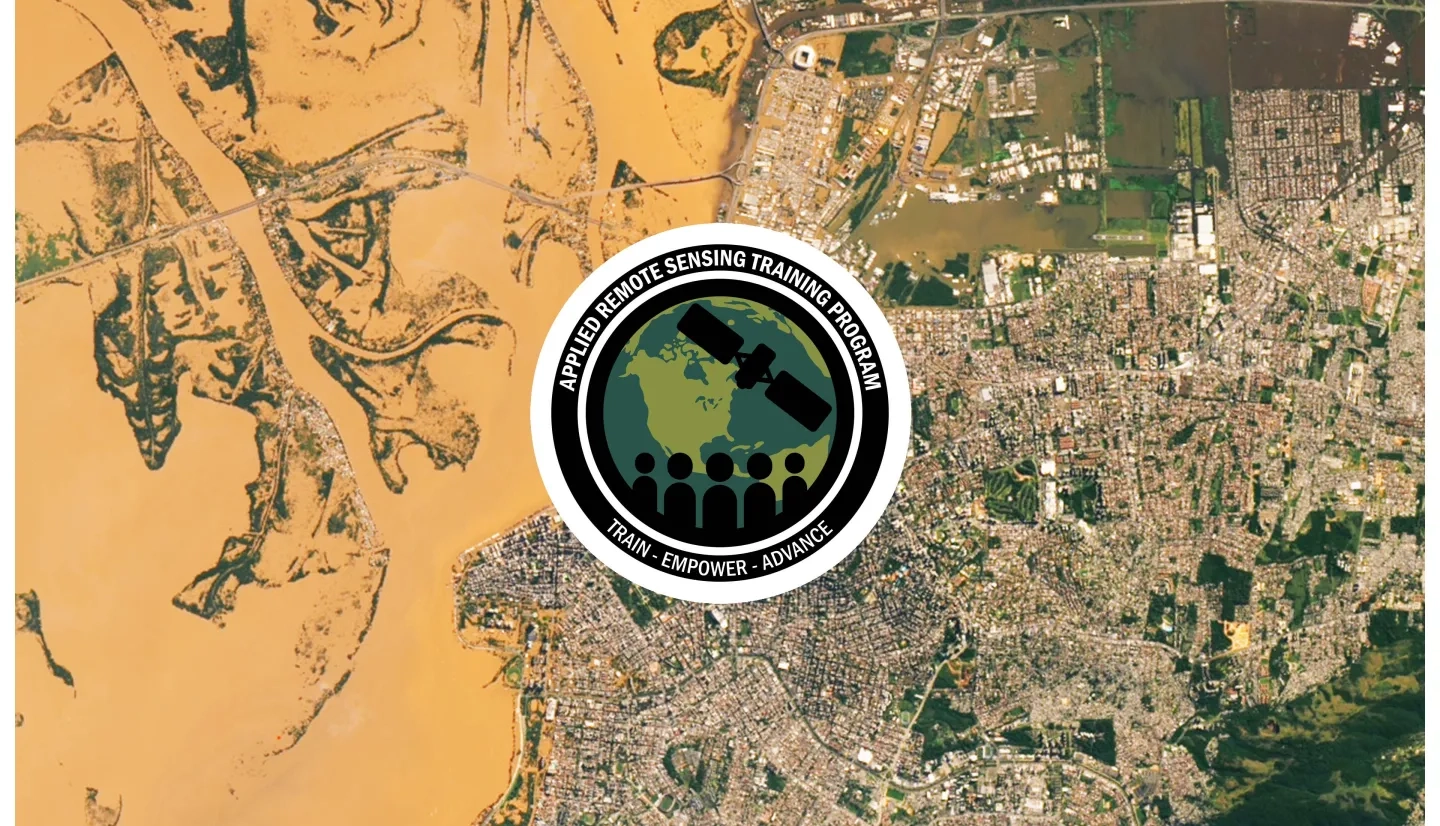
Synthetic Aperture Radar (SAR) signals can “see” the surface of the Earth during the day or night, and under nearly all weather conditions. In addition, the signal can penetrate through the vegetation canopy and detect inundation. These capabilities are unique to radar and make it an ideal sensor for flood detection and monitoring.
In association with AmeriGEO Week 2024 (26-30 August 2024), we will be conducting a live Question & Answer (Q&A) Session on the use of radar remote sensing observations for flood monitoring, on September 5, 2024. The goal of this live, one-hour Q&A is to provide participants with the opportunity to ask questions to a panel of experts. We will have a translator available for our Spanish-speaking audience.
Attendees will be allowed to ask questions about the use of radar remote sensing for flood monitoring. Some initial questions may be answered by previous ARSET trainings; in particular, if participants would like to get more information about a topic of their choice prior to participating in the question & answer session, they may be interested in the following trainings listed as prerequisites.
En Español:
Las señales de Radar de Apertura Sintética (SAR, por sus siglas en inglés) pueden “ver” la superficie de la Tierra de día o de noche bajo casi cualquier tipo de condiciones meteorológicas. Además, la señal puede penetrar a través del dosel de la vegetación y detectar la inundación. Estas capacidades son exclusivas al radar y hacen de este un sensor ideal para la detección y monitoreo de inundaciones.
En asociación con AmeriGEOWeek 2024 (del 26 al 30 de agosto de 2024), estaremos realizando una sesión de Preguntas y Respuestas (Q&A) en vivo sobre el uso de observaciones de teledetección por radar de apertura sintética (SAR) para el monitoreo de inundaciones, el día 5 de septiembre de 2024. El objetivo de esta sesión de una hora es brindarles la oportunidad de hacer preguntas a un panel de expertos. Habrá un traductor disponible para los participantes de habla hispana.
Los participantes tendrán la oportunidad de hacer preguntas sobre el uso de SAR para el monitoreo de inundaciones. Es posible que puedan encontrar las respuestas a algunas de sus preguntas en las capacitaciones de ARSET anteriores; en particular, si desean obtener más información sobre algún tema de su elección antes de participar en la sesión de preguntas y respuestas, recomendamos las siguientes capacitaciones:
- Introduction to Synthetic Aperture Radar
- Introducción al Radar de Apertura Sintética
- SAR for Detecting and Monitoring Floods, Sea Ice, and Subsidence from Groundwater Extraction (Part 3)
- SAR para la Detección y el Monitoreo de Inundaciones, el Hielo Marino y la Subsidencia del Suelo por Extracción de Agua (Parte 3)
AmeriGEO participants, disaster management agencies, including domestic and international government agencies, aid organizations, indigenous communities, students, and academics.
Participantes de AmeriGEO, agencias de gestión de desastres, incluso agencias de gobiernos nacionales e internacionales, organizaciones benéficas, comunidades indígenas, estudiantes y académicos.
One hour online Q&A session.
Sesión de Preguntas y Respuestas de Una Hora.


