Maine Ecological Forecasting (Fall 2021)
Team: Michael Corley (Project Lead), Philip Casey, Olivia Landry, Lily Oliver, and Brian Varley
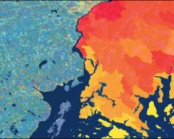
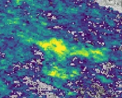
Summary: Atlantic salmon (Salmo salar) is a species of anadromous fish that was historically prevalent throughout the New England region. Overfishing and habitat loss caused a severe decline in the salmon population, restricting North America’s remaining wild Atlantic salmon to rivers in Maine. Land use and land cover (LULC) change and factors associated with temperature and precipitation are important for understanding the suitability of freshwater habitat for juvenile salmon. In collaboration with the Maine Department of Marine Resources and the Downeast Salmon Federation, the team utilized NASA Earth observations to aid partners in understanding how these factors change in relation to critical salmon habitat. Landsat 5 Thematic Mapper (TM) and Landsat 8 Operational Land Imager (OLI) imagery were analyzed to assess changes in LULC between 1985 and 2021. Terra Moderate Resolution Imaging Spectroradiometer (MODIS) and Integrated Multi-satellite Retrievals for Global Precipitation Measurement (GPM IMERG) data were used to determine land surface temperature and precipitation, respectively, between 2000 and 2020. Lastly, temperature and precipitation anomaly maps visualized deviation from the 20-year climatic average for each pixel. LULC analysis for 1985 to 2020 showed a loss of forest cover throughout critical salmon habitat although gains in forested area were also observed. Assessment of mean summer land surface temperature revealed an increase in temperature from 2000 to 2020 and anomaly maps highlighted areas experiencing abnormally high or low summer precipitation and temperature. These results and the underlying data were packaged for the partner organizations to inform future conservation efforts.


