Intermountain west wildland fires (2024 Spring)
Team: Teo Rautu, Mark Cervantes, Britt Hays, Alec Wallen
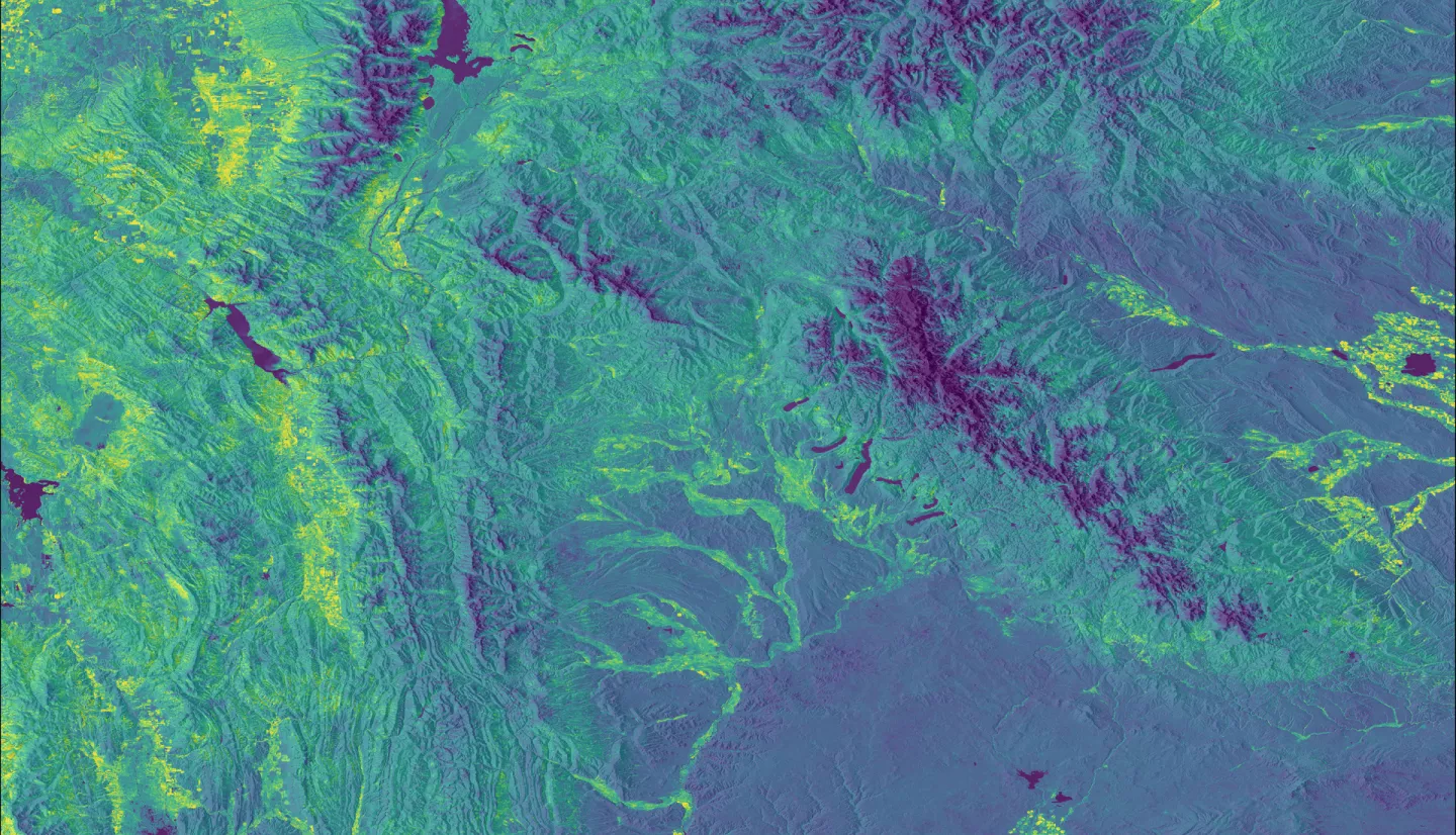
Summary: Within the intermountain west, monitoring vegetation fuel loads is a major component of wildland fire management efforts. To address this concern, we partnered with the U.S. Forest Service to inform the agency which forested areas should be prioritized for prescribed burning and fuel reduction near human communities in the Bridger-Teton National Forest, Wyoming. We computed burn severity maps, fuel load maps, and a tutorial document to identify forest impact trends and provide the partner with the tools to replicate project methods for use in other wildfire crisis strategy sites. These end products were made using two NASA Earth observations: Landsat 8 Operational Land Imager and Shuttle Radar Topography Mission. Based on our random forest analysis, our maps identified 998 acres within the Wildland Urban Interface that are predicted to have high fuel loading and high burn severity within the Bridger-Teton National Forest. Forested areas closer to heavily populated areas such as Jackson, Kelly, Moran, New Forks Lake, and Star Valley Ranch should be prioritized for fuel reduction. However, our random forest model analysis was limited to using vegetation and topographical indices with no field data for model validation. Therefore, future studies should use field data for model validation to improve model accuracy and additionally incorporate Global Ecosystem Dynamics Investigation data into models to create better predictions of forested areas with high fuel load and high burn severity.


