Team Members: Pawan Gupta (Universities Space Research Association, Columbia & NASA Marshall Space Flight Center); Alqamah Sayeed (Universities Space Research Association, Columbia & NASA Marshall Space Flight Center); Katarzyna Sepielak (University of Texas Rio Grande Valley); Owen Temby (University of Texas Rio Grande Valley); Dawid Wladyka (University of Texas Rio Grande Valley).
Executive Summary: This project integrates: 1) air pollution NASA satellite data, 2) local ambient monitoring sites, 3) socio-economic indicators (Social Vulnerability Index), and 4) Local knowledges (Air Quality Perception scale) to characterize the PM2.5 trends due to agricultural burning in the Lower Rio Grande Valley Region of South Texas. This project empowers the air quality knowledge base of the local citizenry by providing them with access to a publicly available dashboard hosted by UTRGV. Agriculture is one of the important economic mainstays of this region; however, stubble burning is carried out almost entirely in the Valley on both sides of the international border. This results in elevated levels of particulate matter pollution with PM2.5 levels exceeding the USEPA’s National Ambient Air Quality Standards (NAAQS), polycyclic compounds, black carbon, nitrogen dioxide, and methane. This project is based on the premise that high exposures to air pollutants is a matter of environmental injustice especially for this low-resourced majority minority region of the U.S.-Mexico border.
Texas Commission on Environmental Quality (TCEQ) operates one Central Ambient Monitoring Site (CAMS) each in Brownsville, Edinburg, Harlingen, Mission, and Port Isabel. Out of these only two CAMS sites regularly monitor PM2.5 and four monitor O3. These CAMS monitors are not an accurate representation of people’s air pollution. Whereas this region is usually in compliance with the USEPA’s NAAQS for criterial air pollutants except during fire events, it is important to increase the general awareness about the deleterious health impacts due to acute or chronic exposures to these pollutants.
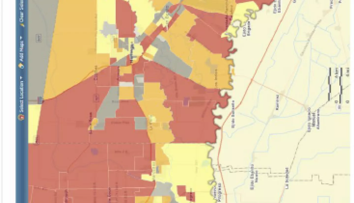
This project, therefore, endeavors to utilize MODIS-Combined, VIIRS-NPP, ABI-GOES-East aerosol data in combination with PM2.5 data collected continuously from Purple Air Monitors that would be deployed at about 20 different locations in the Valley to accurately capture the pollutant trends, both temporally and spatially for a period of one year. This period will also capture the change in pollutant levels – especially from October to May – peak season for agricultural stubble burning. The air pollution datasets – both satellite as well as ground based- will then be combined with socio-economic indicators and Air Quality Perception scale to assess perceptions about air pollution issues facing this community. Real time information pertaining to the air quality trends in tandem with the socioeconomic indicators and results of the Air Quality Perception analysis will be available in a GIS-enabled dashboard operated by the University of Texas Rio Grande Valley. This research work will address the existing gaps in air quality knowledge pertaining to this specific region of Texas and it is our firm belief that fundamental questions about environmental justice and equity are addressed by this research endeavor.
