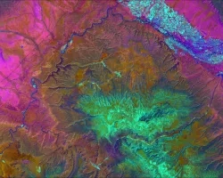
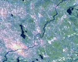
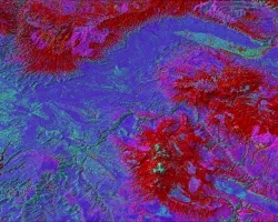
The Yellowstone Ecological Research Center of Bozeman, Montana proposes to integrate a Large-area Invasives focuses on enabling the use of NASA data and resources in an existing federal partner DSS. More specifically, the work will enhance the current NISFS DSS as planned (Schnase et al. 2002) by adding: - Predictive invasive spread modeling to the current static modeling efforts; - Incorporation of climate variables and predictions from the NASA-CASA carbon-climate model; - Large-area, regional geographic extent via study of a fourth, far larger area¿the Greater Yellowstone Area (GYA)¿to current NISFS prototyping efforts; - New and repeated taxonomic coverage, including an invasive pathogen; and - New avenues of applicability by partnering the existing USGS DSS with the US Fish and Wildlife Service (USFWS) to provide ecological forecasting tools for threatened and endangered (T&E) species. Spread Network (LISN) to the existing United States Geological Survey (USGS) decision support system (DSS) known as the National Invasive Species Forecasting System (NISFS). Year one of LISN was recently funded and work is just now beginning; the enclosed proposal seeks funding for years two and three of this important work. We will apply remote sensing-based ecological models for the prediction of invasive species and pathogen spread over regional spatial scales. Our models will incorporate climate data and allow predictions under various climate scenarios. The program, which fits under the Integrated System Solutions component of the CAN solicitation, primarily addresses two of 12 applications of national priority¿Invasive Species and Ecological Forecasting¿and
Project


