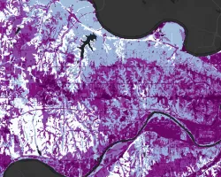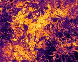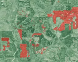
Wildfires in the western United States have caused immense infrastructure damage and loss of human life in recent years. Wildfire smoke, which travels far from its original source, is also harmful to human health. Mixing height, which acts as a lid and prevents smoke from rising above a certain altitude in the lower troposphere, is a critical input in smoke dispersion and air quality models used by agencies that monitor wildfires. These models, coupled with forecaster expertise, are also used to decide when it is safe to execute a prescribed burn. The DEVELOP ID team partnered with the National Weather Service (NWS) Fire Weather Program, Bureau of Land Management (BLM), National Interagency Fire Center (NIFC), and National Park Service (NPS) Fire Management Program Center (FMPC) to help improve reliability and confidence in mixing height estimations, and therefore the burn prescription decision-making process. To that end, the team developed a toolbox for measuring smoke-related aerosol mixing heights using Cloud-Aerosol LiDAR and Infrared Pathfinder Satellite Observations (CALIPSO) Vertical Feature Mask granules. CALIPSO mixing heights and NWS estimations covaried significantly and positively. However, substantial disagreement between the methods stymied the team’s attempts to quantify systematic bias in a meaningful way. The relative error between the methods was especially large at low mixing heights, which suggests that this method of validation may only be suitable at higher altitudes.


