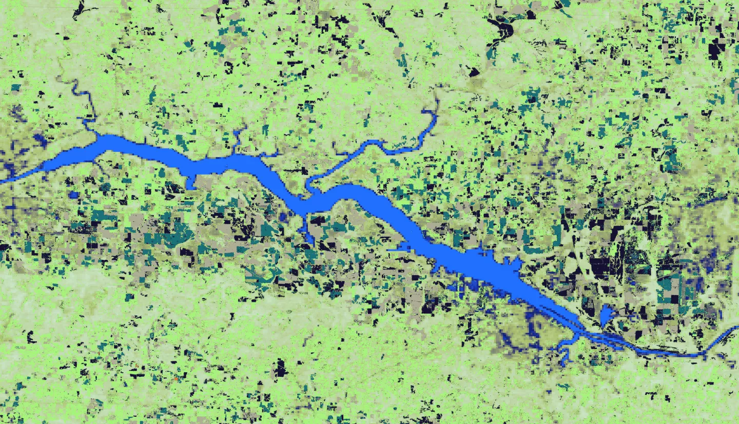
Southeast US Agriculture (2023 Spring)
Team: Kindrea Gibbons (Project Lead), Michaela Gooch, Quinton Deppert, Casey Mills
Summary: A flash drought refers to the rapid onset or intensification of drought-like conditions. Within the Southeastern United States, flash droughts are made worse by the presence of consumptive vegetation and poor water-holding soils. According to the United States Drought Monitor, a 2016 flash drought occurred with roughly 92% of Georgia, Alabama, Mississippi, and Tennessee experiencing “severe drought” or worse in the fall of that year. The event resulted in widespread wildfires, reservoir shortages that led to interstate disputes over water rights, significant deterioration of pasture and rangeland, and crop sale losses. The occurrence of a flash drought similar to that listed above can cost the Southeast hundreds of millions of dollars, with effects lasting for several years. For this reason, the development of flash drought monitoring, forecasting, and communication tools is needed to alert both states and their practitioners of possible flash drought events, offsetting the potential loss caused by a flash drought event. This research employed NASA's Short-Term Prediction and Transition Center-Land Information System, Landsat 7 Enhanced Thematic Mapper Plus, and Landsat 8 Operational Land Imager and other datasets to determine climatological trends during peak growing season from 2000-2022. These products can help partners at the Alabama Office of the State Climatologist, National Integrated Drought Information System, and National Coordinate Soil Moisture Monitoring Network better manage agricultural lands inside drought-prone zones and monitor crop sensitivity during different growing seasons.


