Tonle Sap Food Security & Agriculture III (Fall 2021)
Team: Joey Lindsay (Project Lead), Keida Gaba, Lindsay Harmon, Susan Jarvis
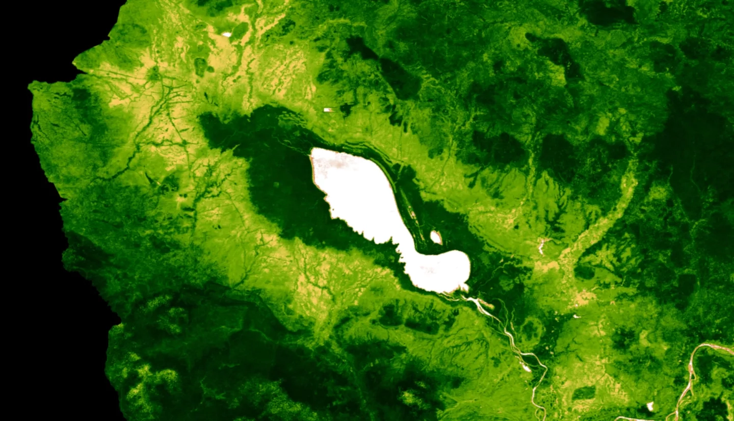
Summary: Tonlé Sap Lake, located in Cambodia, Southeast Asia, is one of the most productive inland fisheries in the world. With the unique reverse flow hydrology of the Tonlé Sap River, this freshwater system contains rich biodiversity and provides critical freshwater resources for the local community. Overfishing, stronger seasonality, drought, dam construction, forest fires, and untreated industrial domestic sewage threaten the ecosystem vitality and economic success of Tonlé Sap. In collaboration with Conservation International and the Cambodian Ministry of Water Resources and Meteorology’s Tonlé Sap Authority, we calibrated and finalized remotely-sensed proxies for sub-indicators of the Freshwater Health Index (FHI). We used NASA Earth observation data from Moderate Resolution Imaging Spectroradiometer (MODIS), and the Gravity Recovery and Climate Experiment (GRACE). These datasets were used in RS proxies and a Soil and Water Assessment Tool (SWAT) model that previous teams developed for sub-indicators of FHI. They included landcover, bank modification, and water quality metrics. It was determined that the ground water storage in Tonlé Sap Lake exhibited a slight declining trend over from April 1st, 2002 to February 3rd, 2017. To calculate chlorophyll-a concentration in the Tonlé Sap Lake, we used Copernicus Global Land Service mission data which provided a Trophic State Index of the lake. Between January 1st, 2000 and December 31st, 2020, the lake and surrounding region within the study area boundary displayed a slight decrease in vegetation density and consistently high chlorophyll-a concentrations. The SWAT model calculated nitrogen and phosphorus content measured in outlet points of the lake. We demonstrated that remotely sensed data is valuable for providing additional information for the FHI, but is not fully capable of replacing its in situ counterpart. We also concluded the water quantity is on a slowly declining trend within the basin.


