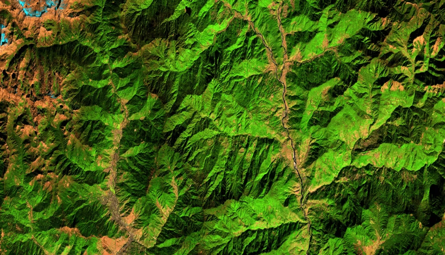
Bhutan Agriculture II (Summer 2022)
Team: Wangdrak Dorji (Project Co-Lead), Tenzin Wangmo (Project Co-Lead), Karma Dorjee, Sonam S Tshering
Summary: Agriculture is an essential sector in Bhutan, accounting for 19.2% of Bhutan’s GDP in 2020 while providing livelihoods for approximately 57% of the population. The Department of Agriculture (DoA) in Bhutan still relies on in-field reporting for crop monitoring, which is time-consuming and labor-intensive. The team partnered with the DoA, the Bhutan Foundation, and the Ugyen Wangchuck Institute of Conservation and Environmental Research (UWICER) to explore more efficient monitoring using Earth observation data from the Landsat 5 Thematic Mapper (TM), Landsat 7 Enhanced Thematic Mapper Plus (ETM+), Landsat 8 Operational Land Imager (OLI), Aqua and Terra Moderate Resolution Imaging Spectroradiometer (MODIS), Shuttle Radar Topography Mission (SRTM), and Sentinel-1 C-band Synthetic Aperture Radar (C-SAR). With the help of science advisors from NASA SERVIR, the team expanded the crop mask, created in the previous term, to Bhutan from 2015 to 2020 (May–October) and streamlined the sampling protocols for applicability to any available crop data. The random forest model was trained, validated, and tested with manually classified points from Collect Earth Online (CEO) for five heavy rice production districts: Paro, Samtse, Sarpang, Punakha, and Wangdue Phodrang. The accuracy and kappa scores of the random forest model were 85.9% and 71.8%, respectively. The team also developed a graphical user interface (GUI) that visually represented current trends and rice distribution across Bhutan. This project refined the previous term’s methodology to help supplement crop monitoring and increase the frequency of data collected to aid decision-making processes using remote sensing data.


