San Joaquin Valley Health & Air Quality II (2024 Spring)
Team: Shea Rousseau (Project Lead), Gabriela Colombo, Carlo M. Gomez, Tyler C. Padua
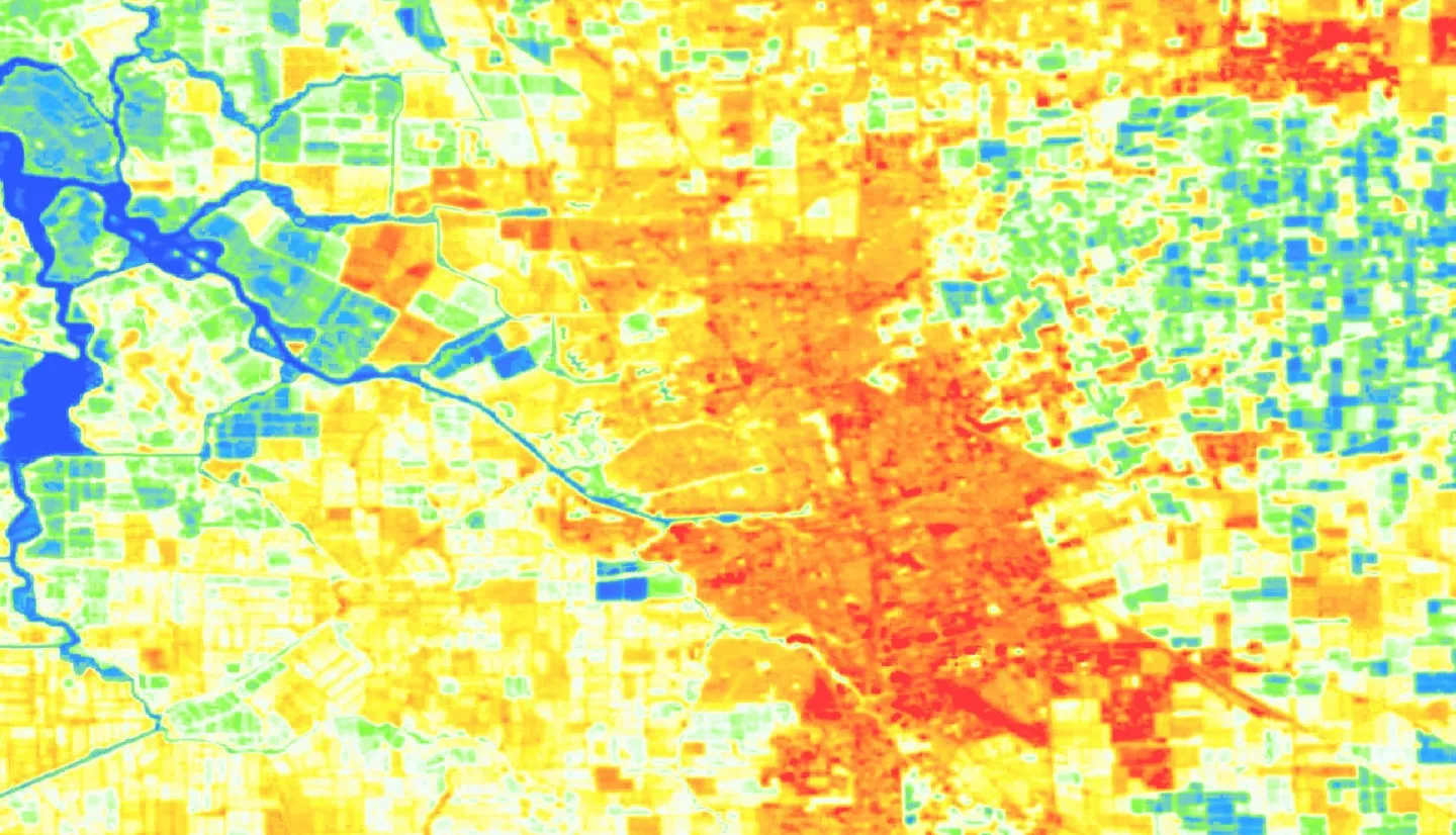
Summary: The city of Stockton, California, located within the San Joaquin Valley (SJV), is a major hub for agricultural production and has endured the continuous threat to community health from nitrogen dioxide (NO2) and increasing temperatures. The convergence of these issues occurs within historically segregated communities that are disproportionately facing health risks related to heat and air quality. Little Manila Rising (LMR), a social and environmental justice (EJ) advocacy non-profit, partnered with NASA DEVELOP for a second term project to evaluate county wide urban heat islands, sociodemographic vulnerability, landcover classification, and the convergence of these variables. We utilized Landsat 8 Thermal Infrared Sensor (TIRS) and Operational Land Imager (OLI) data to produce a land surface temperature (LST) and Normalized Difference Vegetation Index (NDVI) map. They added Centers for Disease Control (CDC) socioeconomic data from 2020 to identify which communities in Stockton were more susceptible to these environmental factors. Additionally, we used imagery from National Agriculture Imagery Program (NAIP) to create a landcover map differentiating developed infrastructure from tree canopy cover. We discovered that south Stockton, where LMR resides, had the worst convergence of urban heat, air pollution, low canopy coverage and sociodemographic vulnerability compared to northern and rural parts of the city. This was further substantiated by statistical analysis showing a strong positive relationship between areas of high LST and low vegetation. The results provided LMR with compelling evidence to support in their EJ advocacy, and in their efforts to inform state officials of the discriminatory issues they face.


