Start Date: April 13, 2022
Type: Floods, Landslides
Region: Africa
Info & Resources:
- View Products on the NASA Disasters Mapping Portal
- NASA Disasters Program Resources for Floods
- NASA Disasters Program Resources for Landslides
- International Disasters Charter: April 2022 Landslides and Flooding, May 2022 Flooding
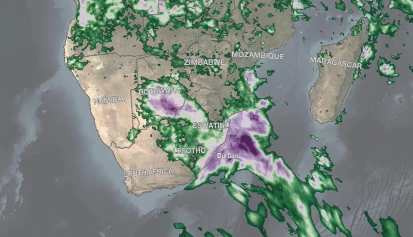
The above animation shows surface rainfall estimates from NASA’s IMERG satellite precipitation product for the two-week period of April 5 - 18, 2022, over the southern part of Africa and the surrounding ocean areas. The animation shows instantaneous rain rates (in blue and yellow) overlaid on rainfall accumulations (shown in green and purple) and infrared (IR) cloud top data. Learn more. Credits: NASA GPM
UPDATE JUNE 6, 2022
In April 2022, the city of Durban, South Africa and surrounding regions experienced extreme rainfall leading to significant flooding and landslides. According to national authorities, at least 443 people died in the KwaZulu-Natal province in April, and over 40,000 people were displaced as nearly 14 inches of rain fell over two days. In late May, further heavy rainfall hit the region, causing hundreds of people on the east coast of South Africa to flee their homes. The impacts of these disasters were likely exacerbated by the effects of human-induced climate change, as well as the vulnerability of the local population due to poor socioeconomic conditions and lack of access to storm early warning systems.
Cyril Ramaphosa, the president of South Africa, called the floods a “catastrophe of enormous proportions” and “the biggest tragedy we have ever seen,” and declared a national state of disaster on April 18, 2022.
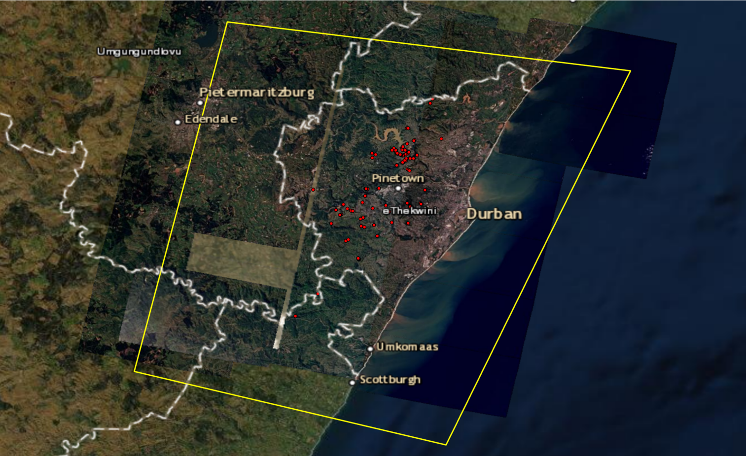
Stakeholders from the UN World Food Programme (WFP) reached out to NASA’s Earth Applied Sciences Disasters program area to request assistance in mapping floods and landslides in the region. The NASA Goddard Space Flight Center (GSFC) Landslides team, supported by the NASA Applied project “Enabling Landslide Disaster Risk Reduction and Response throughout the disaster life cycle with a multi-scale toolbox,” analyzed optical imagery from Planet satellites and developed maps of potential landslide locations, which they provided to the WFP for the April and May flood events.
The Disasters program also reached out to NASA GSFC flood researchers and collaborators at the Dartmouth Flood Observatory to develop flood extent maps of the region using the Planet data and provided them to the WFP. Developing these maps helped test the capabilities of a preliminary version of the DFO flood extent mapping tool, and builds on previous collaborations with the WFP, who are providing valuable feedback to improve the tool.

