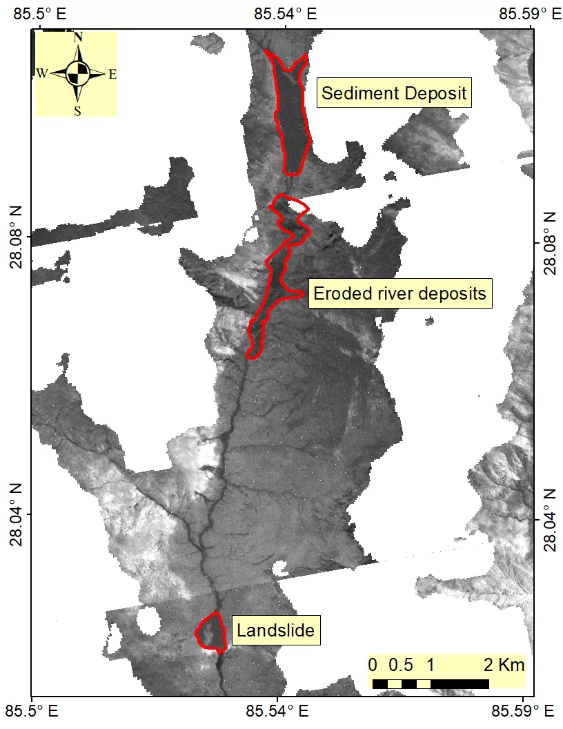
In late June 2021, heavy rainfall caused a series of flash floods, landslides, and debris flows across Nepal, killing 18 people and leaving 21 more still missing according to media reports. Several people were forced from their homes in the Sindhupalchowk district as the Bhotekoshi river overflowed, and the Tatopani border point has remained closed since June 19 as the river flooded roadways in the Larcha and Kodari Bazaar areas. In Kanchanpur, the Mahakali river wiped out an under-construction bridge on June 19 as well, contributing to the ongoing loss of crucial infrastructure throughout the country. So far, the disasters have led to billions of dollars’ worth of losses to Nepal.
The NASA Earth Applied Sciences Disasters program area activated efforts to monitor the flooding and landslides in Nepal using Earth-observing data to assist in risk reduction, response, and recovery efforts. The program established a Core Team that met on June 23 to respond to imagery requests from the International Centre for Integrated Mountain Development (ICIMOD). Currently, the Disasters program is working to produce images of the area before and after the disaster.
The NASA ROSES A.37 research projects “Integrating SAR Data for Improved Resilience and Response to Weather-Related Disasters, Enabling Landslide Disaster Risk Reduction and Response throughout the disaster life cycle with a multi-scale toolbox Project,” and “Global Rapid Damage Mapping System with Spaceborne SAR Data Project” are providing support for the disaster response.
