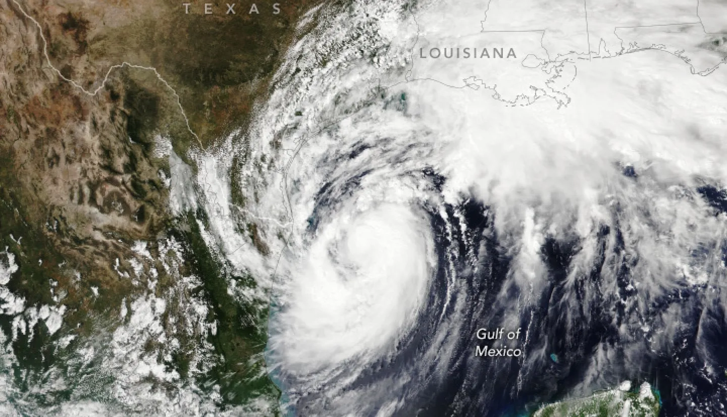
Start Date: Sept. 10, 2024
Type: Hurricanes & Cyclones
Region: North America
Info & Resources:
- View maps and data on the NASA Disasters Mapping Portal
- NASA Earth Observatory: Francine Bears Down on Louisiana
- NASA Global Precipitation Measurement Mission: Hurricane Francine Makes Landfall in Louisiana
Overview:
Tropical Storm Francine formed in the Gulf of Mexico on Sept. 9, 2024, and made landfall in Louisiana as a Category 2 hurricane the morning of Wednesday, Sept. 11. The storm brought heavy rainfall, flooding, and power outages to parts of Louisiana and Mississippi.
NASA's Disasters Response Coordination System (DRCS) activated in support of FEMA's response efforts on Sept. 10. The DRCS team attended interagency coordination calls and shared Earth observation maps and data, including high resolution optical imagery, and Black Marble nighttime lights data to aid in identifying power outages in the impacted regions.

