Start Date: Nov. 22, 2024
Type: Hurricanes & Cyclones
Region: North America
View maps and data on the NASA Disasters Mapping Portal
Overview
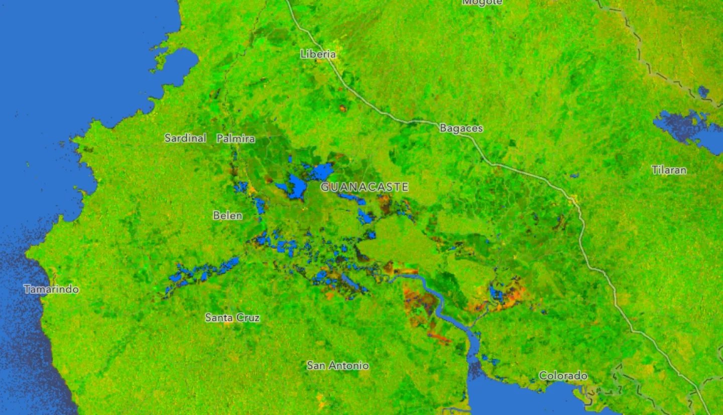
Back-to-back tropical storms Rafael and Sara brought flooding and landslides to Costa Rica, with significant impacts to residents on the Pacific coast and the province of Guanacaste. The Disasters Response Coordination System (DRCS) has activated to support stakeholders from the University of Costa Rica School of Geography, who are working with national and local response agencies in Costa Rica. The DRCS has produced multiple geospatial products to support response efforts, including water extents derived from Copernicus Sentinel 1 satellite data and near real-time flood products to assess the impacts of flooding. The DRCS team also produced landslide maps using high-resolution Planet Labs imagery. These maps and data are being shared on the NASA Disasters Mapping Portal.

