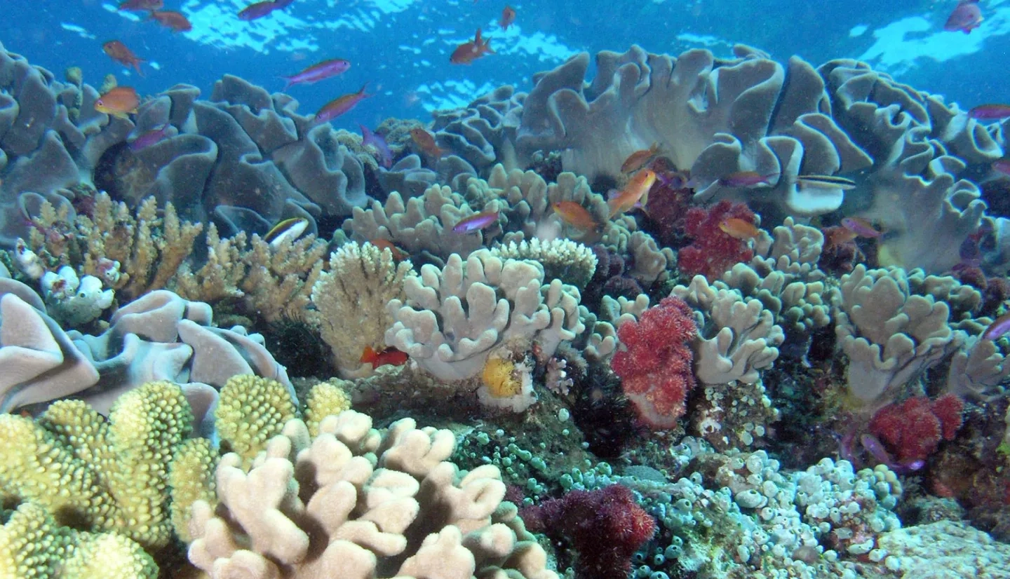
Hawaii boasts more than 60% of the coral reefs in U.S. waters. Known as “rainforests of the sea,” coral reefs are home to an estimated one-quarter of all marine species worldwide. Coral reefs are also under threat from a condition called, "coral bleaching" in which they lose symbiotic algae that live inside the coral animal tissue, causing the coral to have a whiter, bleached look.
“There are many environmental conditions that can cause coral bleaching including water quality, contaminants, changes in sedimentation, changes in salinity, low oxygen and disease,” said Darla White of Hawaii’s Department of Land and Natural Resources. “However, widespread or mass coral bleaching is driven by temperature.”
“Coral bleaching is a stress response in coral,” said Anne Rosinski, a marine resource specialist with the Hawaii Coral Reef Initiative. “Bleached corals are more vulnerable to disease, are thought to reproduce less successfully and will eventually die if environmental conditions do not improve.”
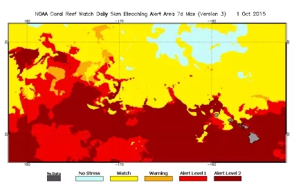
One resource to monitor and predict bleaching events is the Coral Reef Watch program, within the National Oceanic and Atmospheric Administration (NOAA). The program uses satellite data, climate models and in situ observations to provide bleaching alerts for stressed coral reefs. Their satellite-based products include near real-time and historical data and images of temperature and temperature anomalies around coral reef ecosystems. The Coral Reef Watch program also uses expected climate conditions to issue bleaching outlooks up to four months in advance.
To better understand and preserve coral reef health, NASA partnered with NOAA on a project to develop higher-resolution satellite data products. Building on the 50-kilometer products provided by Coral Reef Watch, the project created global, 5-kilometer sea surface temperature products based on data from Earth-observing satellites operated by NASA, NOAA and their international partners.
These new products allow reef managers and scientists to better understand conditions of offshore waters under their jurisdiction, as well as within actual reef ecosystems. The new products also provide finer-scale satellite data and directly monitor more than 98% of coral reefs around the world.
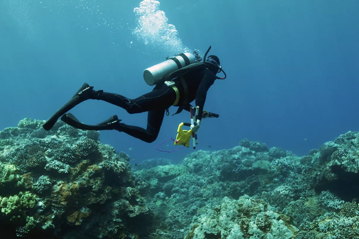
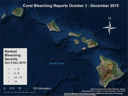
In Hawaii, researchers and reef managers used these new tools to monitor widespread coral bleaching events in the summer and fall of 2014 and 2015 – the first such events of this magnitude ever reported in the state’s waters. “Based on the satellite data, we were able to understand which areas were likely to have severe bleaching, and we deployed monitoring teams to those areas,” Rosinski noted.
“The 2015 event … was the third worldwide bleaching event and the first to impact Hawaii with such magnitude,” White said. “On Maui, we saw a number of sites, and estimate bleaching at some sites was 50-75%, and others were greater than 75%.”
It was during this 2015 bleaching event that White used the Coral Reef Watch products to help organize an event called Bleachapalooza.
“Based on the satellite data, we were able to understand which areas were likely to have severe bleaching, and we deployed monitoring teams to those areas.”
– Rosinski, Hawaii Coral Reef Initiative
“Bleachapalooza was the brainchild of Liz Foote, the executive director of Project S.E.A.-Link,” White said. S.E.A-Link’s mission is to promote marine science, education, and awareness by fostering linkages between students, teachers, scientists, community members, nonprofit organizations, government agencies and the general public.
“The idea [of Bleachapalooza] was to get everyone in the water at the predicted height of the bleaching event to get a snapshot of the status of the bleaching,” White said, adding that with the support of the Hawaii Coral Reef Initiative the effort went statewide across Hawaii. "It greatly improved the awareness and participation of reports [of coral bleaching].” White said.
The improved Earth-observing data products are now critical to monitoring Hawaii’s coral reefs. “The NOAA [Coral Reef Watch] site is such an incredible early warning system and valued tool,” White remarked. “We use it to alert the public, in combination with Eyes of the Reef training and the Hawaii Rapid Response Contingency Plan. It has proven to be invaluable to resource managers to understand impending threats, and the severity of those threats, to the coral reefs.”
This story is part of our Space for U.S. collection. To learn how NASA data are being used in your state, please visit nasa.gov/spaceforus.
