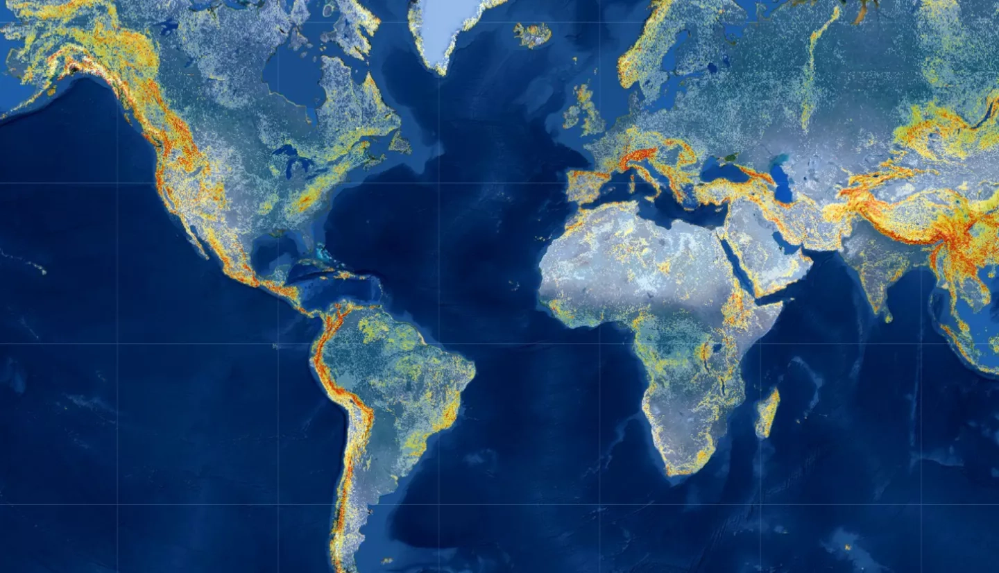
Every year, landslides cause thousands of deaths, billions of dollars in damages, and disruptions to roads and power lines. Terrain, characteristics of the rocks and soil, weather, and climate all contribute to landslide activity, so accurately pinpointing areas most at risk for landslides can be challenging. But what if we could identify at-risk regions anywhere in the world at any time?
NASA’s Global Landslide Hazard Assessment (LHASA) model and mapping tool released a new version in May 2021 that includes a machine-learning-based model to help produce customizable, timely and targeted “nowcasts” of potential landslide activity in the form of a near-real-time interactive map. Building on years of research and applications, LHASA Version 2 was tested by the NASA Disasters program and stakeholders in real-world situations leading up to its formal release. The updated LHASA model roughly doubles the accuracy of the first version, making it the most accurate global nowcasting tool available and giving governments, relief agencies, emergency responders, and others a powerful risk assessment tool.
Read the full story: Machine Learning Model Doubles Accuracy of Global Landslide ‘Nowcasts’


