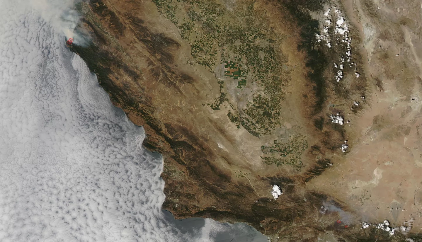
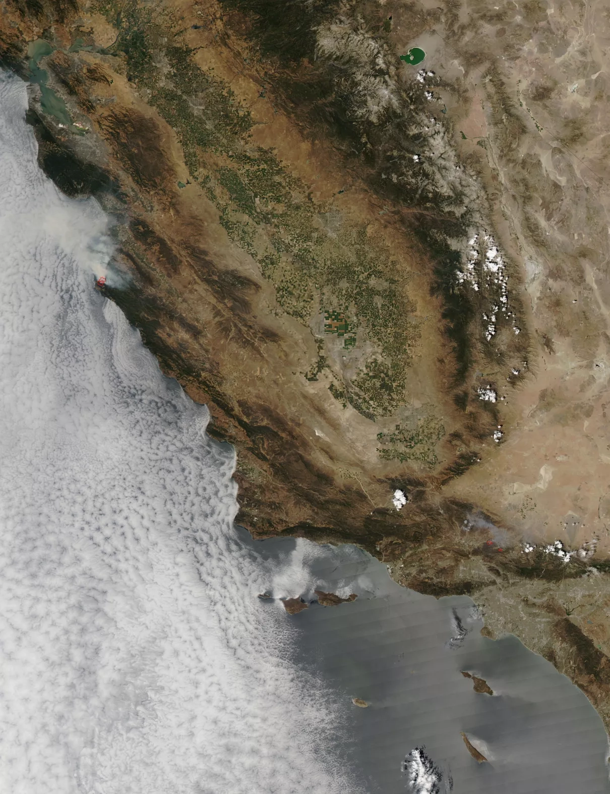
The Sand and Soberanes fires in California continue to blaze, however, the Sand Fire (lower fire) is 65% contained whereas the Soberanes Fire (upper fire) remains only 10% contained. The Soberanes fire activity increased due to lower humidity and higher temperatures, which continues to present as a challenge in controlling the fire. A private hired equipment bull dozer operator was fatally injured last evening (July 26, 2016). A State of Emergency has been declared by the Governor. A total of 34 residences and 10 outbuildings have been destroyed and two residences and two outbuildings have been damaged. A forest closure order has been implemented to close the trails and roads within the Los Padres National Forest. The order prohibits going into or being upon National Forest System lands within the Soberanes Fire area. All California State Parks from Point Lobos State Natural Reserve through Julia Pfeiffer Burns State Park are closed until further notice; which includes Andrew Molera State Park, Pfeiffer Big Sur State Park Campground and Day Use and Point Sur Historic Lighthouse. 350 residents have been evacuated along with several road closures listed in the Evacuations section below. Currently, the fire has burned 23,688 acres and is 10% contained. The cause of the fire is still under investigation.
The Sand Fire is currently 38,346 acres in size and has been 65% contained. Fire behavior was moderate due to less wind in the area. Weather is a major factor in whether or not the fire will be able to persist and grow or will assist firefighters with low temps, no wind and precipitation. Current weather continues to be hot and dry, however, the low winds predicted allow for moderate fire behavior. Future project fire activity is as follows: "On the east side, the fire is hung up in deep drainage. If winds align with the drainage, the fire could potentially spread into heavy fuels to the east. The north side of the fire is predicted to have minimal to no spread. The west side of the fire still has some potential to affect the Sand Canyon and Placerita Canyon area. The south side of the fire continues to hold."
This natural-color satellite image was collected by the Moderate Resolution Imaging Spectroradiometer (MODIS) aboard the Aqua satellite on July 26, 2016. Actively burning areas, detected by MODIS’s thermal bands, are outlined in red. NASA image courtesy Jeff Schmaltz, MODIS Rapid Response Team. Caption: NASA/Goddard, Lynn Jenner with information from Inciweb.


