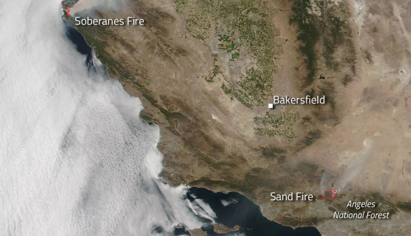
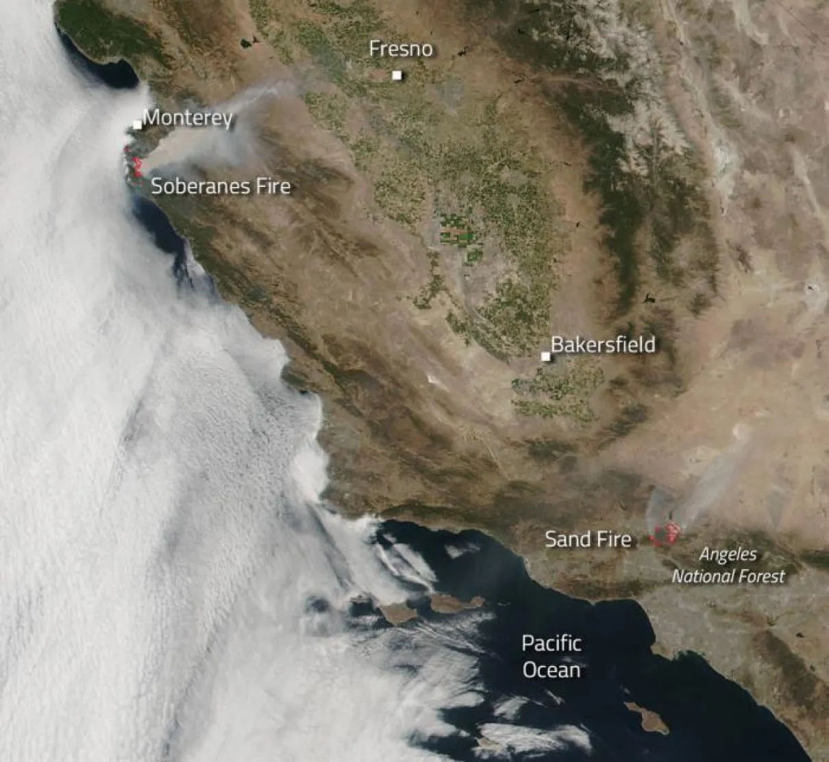
The Sand and Soberanes Fires have the unhappy distinction of the being the largest fires in California at present. The Sand Fire, whose cause is currently under investigation, began on July 22, 2016 and quickly grew to its current size of 33,117 and is 10% contained. The United States Forest Service, Los Angeles County Fire and Los Angeles County Sheriff's Office are in "Unified Command." Evacuations are in place. Over 2964 firefighters are engaged fighting this fire. The resources that are entrenched in battling this blaze include 356 engines, 43 hand crews, 16 water tenders, 26 helicopters and 14 dozers. Many road closures are also in effect. There is a smoke advisory in effective today (July 25) until midnight tomorrow based on unhealthy air quality conditions as a result of the Sand Fire. Smoke is moving toward the south east and multiple areas near the San Fernando and San Gabriel Valleys will be directly impacted. High temperatures, low humidity and high winds will continue to increase fire activity.
The Soberanes fire which is located in the Monterey County area and is seven miles northwest of Big Sur, CA, is currently 14,897 acres in size and is 5% contained. The main fuel for this fire is timber, chaparral and tall grass. Extreme fire behavior has been noted. Numerous residences as well as energy infrastructure are threatened. Eight homes have been lost, but no injuries have been reported. Evacuations, road, area and trail closures are in effect. High temperatures will continue to hamper effects to contain the fire. Unhealthy air quality in the area is also a concern.
NASA's Suomi NPP satellite collected this natural-color image using the VIIRS (Visible Infrared Imaging Radiometer Suite) instrument on July 24, 2016. Suomi NPP is managed by NASA, NOAA and the U.S. Department of Defense. NASA image courtesy Jeff Schmaltz LANCE/EOSDIS MODIS Rapid Response Team, GSFC. Caption by Lynn Jenner with information from Inciweb and National Interagency Fire Center.


