Published
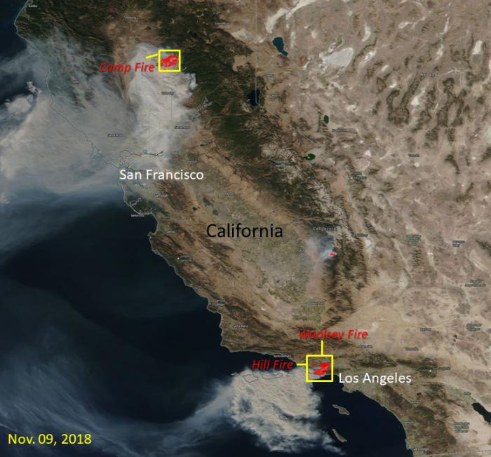
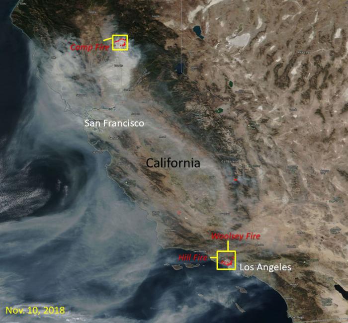
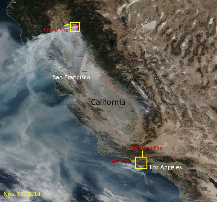
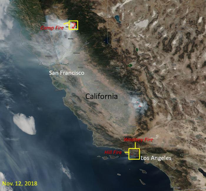
The images below show the California wildfires located by NASA Visible Infrared Imaging Radiometer Suite (VIIRS) Near Real-Time Fires and Thermal Anomalies product (in red points) from the Land, Atmosphere Near real-time Capability for EOS (LANCE). The map of California was provided through VIIRS true color imagery via NASA Worldview from November 9 - 12, 2018. The images show the extent of the Camp Fire, Woolsey Fire and Hill Fire burning in California. The red outlines with smoke indicate areas of active fire.


