Every semester, students from across the country compete for a chance to work on NASA’s most well-known Applied Sciences internship program – DEVELOP. The DEVELOP program addresses environmental and public policy issues through interdisciplinary research projects, each of which applies the lens of NASA Earth observations to community concerns around the globe.
This past summer, DEVELOP brought on 108 interns from 32 different states to tackle some of the country’s most pressing scientific issues. Two of the 21 research projects focused on the impacts of disasters on vulnerable communities: “Illinois Disasters” and “Cincinnati & Covington Urban Development II.” These projects demonstrate how interns can use NASA resources to further the NASA Disasters program’s goal to foster global disaster resilience.
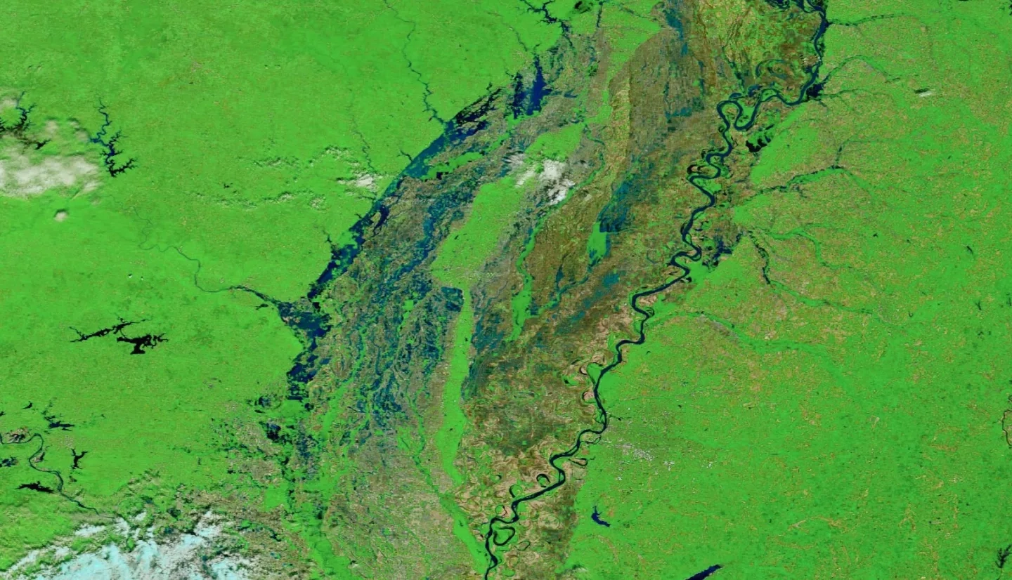
In the Midwest, natural hazards put local communities at risk every year. For rural communities, severe droughts destroy agricultural produce and threaten the region’s economy, while in urban areas, flooding and landslides damage infrastructure and require costly repairs. As global temperatures continue to rise, the frequency and severity of Midwestern disasters increases in response to changing climatic conditions, exacerbating the region’s disaster risk.
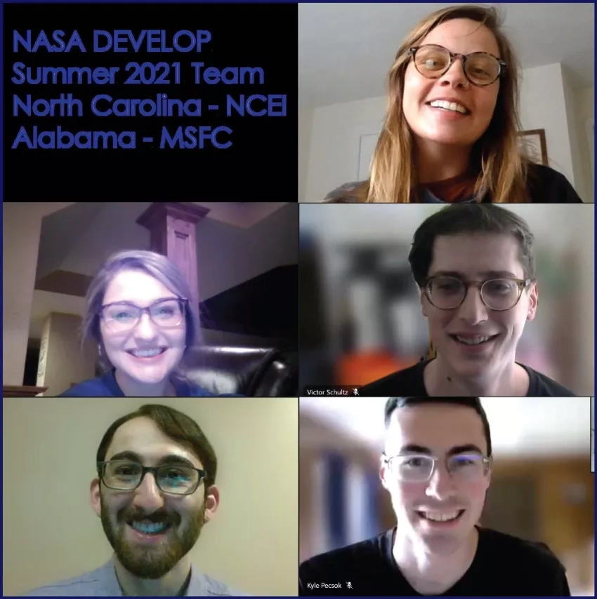
To address rural flood resilience in Illinois, DEVELOP interns Joshua Green, Julia Marturano, Emma Myrick, Kyle Pecsok, and Victor Schultz put together an outstanding project comparing in situ and remotely sensed data for a comprehensive assessment of soil moisture data. The project combined NASA Earth observations with existing infrastructure to improve drought forecasting and aid decision-making surrounding water resources.
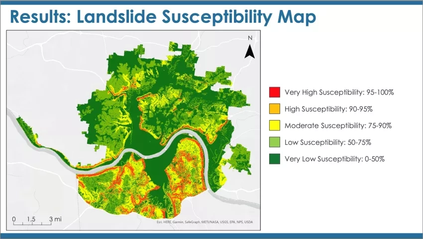
DEVELOP interns Paxton LaJoie, Edward Cronin, John Perrotti, Erin Shives, and Sophie Webster examined flooding and landslide susceptibility along the Ohio-Kentucky border. In their project, “Cincinnati & Covington Urban Development II,” the team mapped stormwater runoff, runoff retention, and potential damage cost as well as landslide susceptibility and exposure. Then, they created a standard operating procedure for future flooding and landslide analyses. This project was able to determine the percentage of rainfall retention throughout the study area based on land cover and the most important factors in determining landslide susceptibility.
The analyses from the “Illinois Disasters” and “Cincinnati & Covington Urban Development II” projects can be applied to other regions of the world to enhance future studies involving disaster prediction – supporting the NASA Disasters program’s quest to inform and prepare global communities for disasters.


