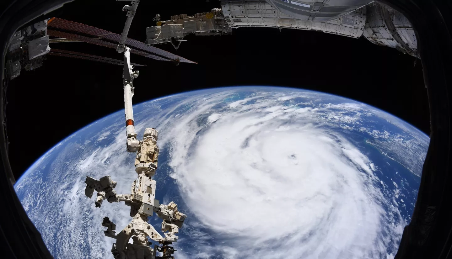
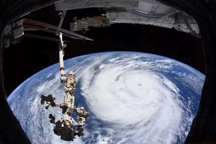
Remote sensing professor Franz Meyer is the driving force behind NASA and the University of Alaska Fairbanks’ (UAF) four-year partnership. The goal of the collaboration is to use synthetic aperture radar (SAR) to improve disaster response. So, when federal emergency managers needed comprehensive information on Hurricane Ida, Meyer and his team were ready to provide support.
“The magic is in the combination of the remote sensing of hazards expertise at UAF, and with partners at NASA’s Marshall and Goddard Space Flight Centers, along with the image archive access, computational skills and cloud computing experience available at the Geophysical Institute’s Alaska Satellite Facility,” says Meyer.
With NASA and UAF’s combined capabilities, the team created a computer algorithm that automatically highlights surface water in satellite imagery and makes it easier to differentiate from the surrounding data. Hurricane Ida was the first opportunity to use the algorithm for hurricane response – and it was a success, with scientists producing hundreds of images in minutes. Meyers worked closely with the Alaska Satellite Facility to distribute the images to disaster managers, and the facility will continue to be the archive and distribution point for the processed data in the future.
Learn more about NASA’s hurricane efforts with the University of Alaska Fairbanks here: Work by UAF researchers and NASA aids Hurricane Ida response


