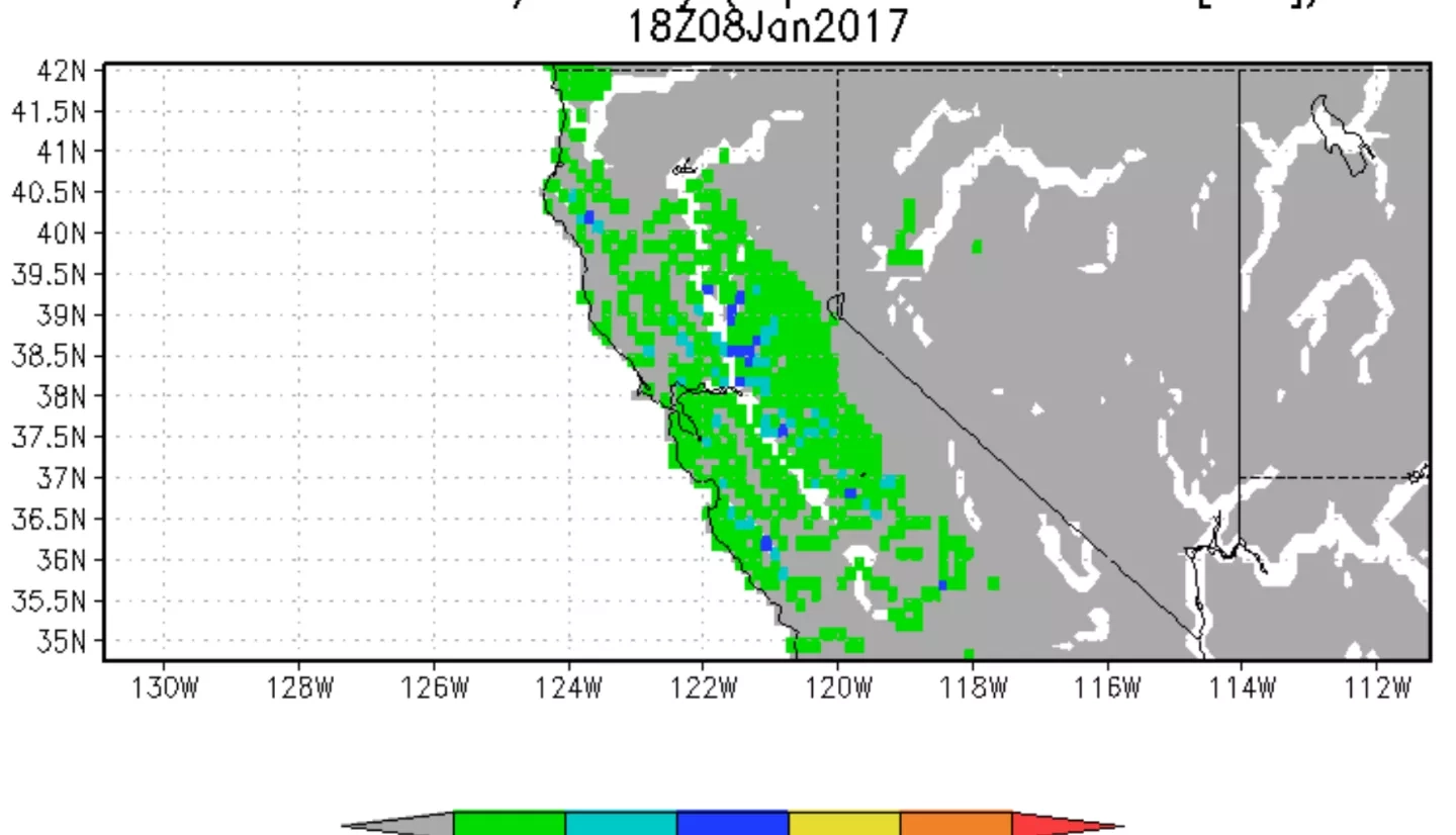
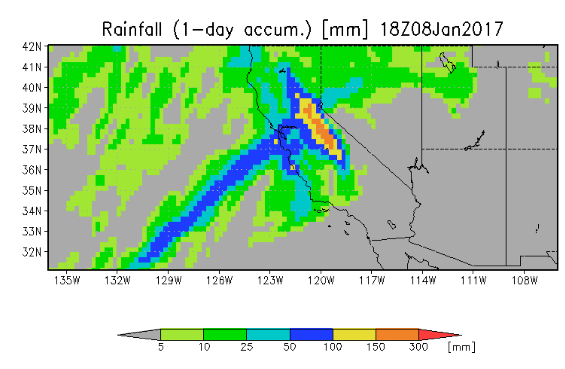
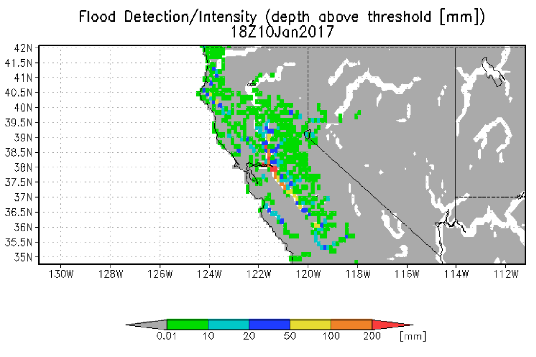
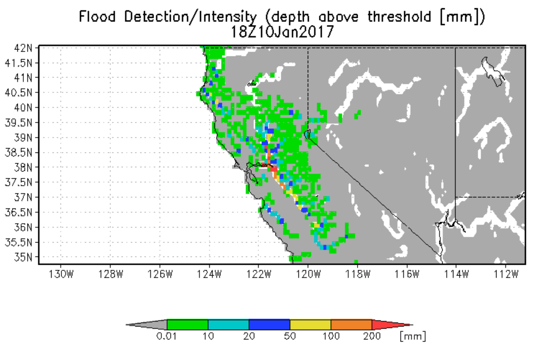
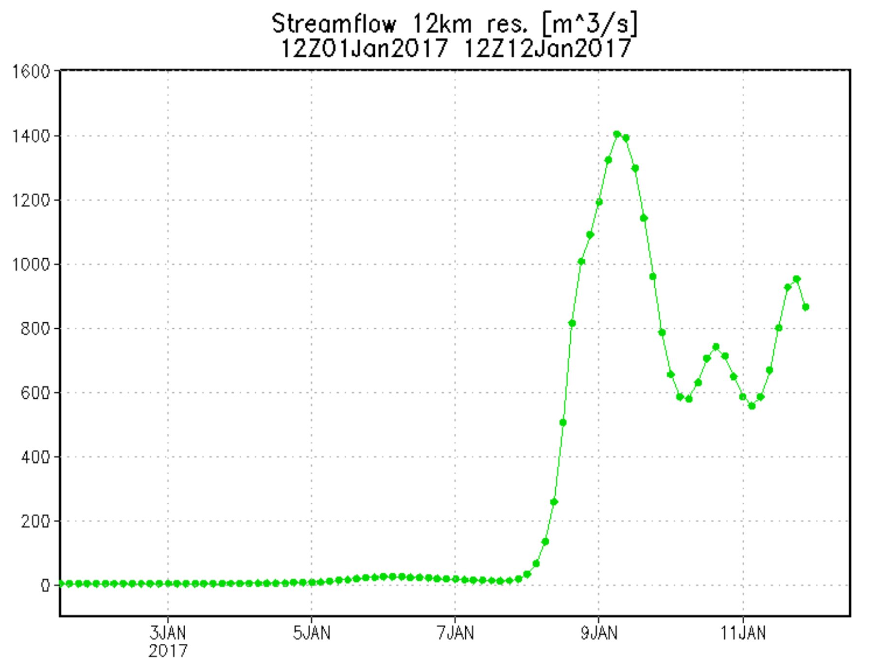
Northern and Central California are under flood threat from an "atmospheric river" in the Pacific. Some flooding has already occurred. Rainfall forecasts below show a pattern extending from ocean and the effect of orography. A forecasted flood pattern from GFMS for Sat., Sun. and Monday is shown in next three figures. The last chart shows forecasted streamflow on American River upstream from Sacramento (near Fair Oaks streamgauge, 38.57N, 121.36W) showing very high values peaking on Monday, but with continuing high values after that (75 cu. m/s is flood threshold at this point).
