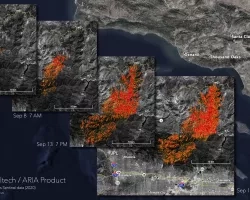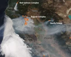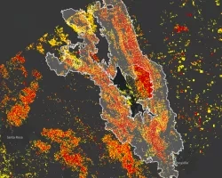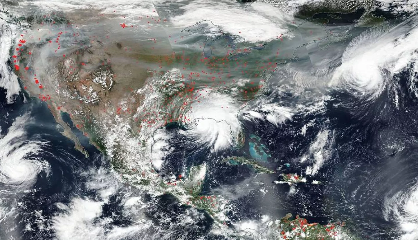
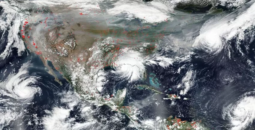
As record-setting fires continue to ravage the western United States, with large fire complexes currently burning in California, Oregon, Washington State, and Colorado, coordinators and scientists from the NASA Earth Applied Sciences Disasters Program are hard at work developing maps, imagery and analysis to aid local agencies and response teams in understanding the impacts from the fires and the potential risks to people, infrastructure, and the environment.
In late August the Disasters Program activated coordination efforts in response to the fires in California, and since then has been working closely with local stakeholders including the California National Guard, the California Geological Survey, the Federal Emergency Management Agency (FEMA), the California State Geographic Information Officer, the California Office of Emergency Services (CalOES), and the California Department of Forestry and Fire Protection (CalFire). As fires began to burn in Oregon, Washington State, and Colorado the Program started working with stakeholders in those regions, including the Washington State Emergency Management Division, the Olympic Region Clean Air Agency, the Washington State Department of Natural Resources, the Washington Department of Ecology, and the Colorado Department of Public Safety. The Disasters Program is also reaching out to emergency management agencies in Oregon, and has recently began discussions with the U.S. Army Corps of Engineers (USACE). Support is being provided directly to these users through emails and virtual meetings, and through data products digitally distributed on the NASA Disasters Mapping Portal.
Learn more about NASA Disasters Program products and coordination efforts for the western U.S. fires.
Related Impact