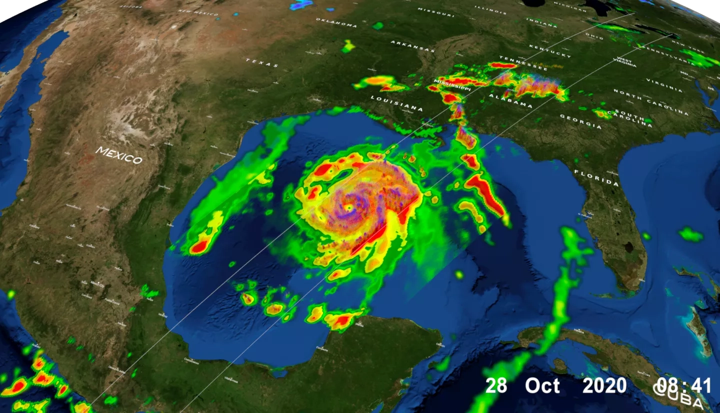
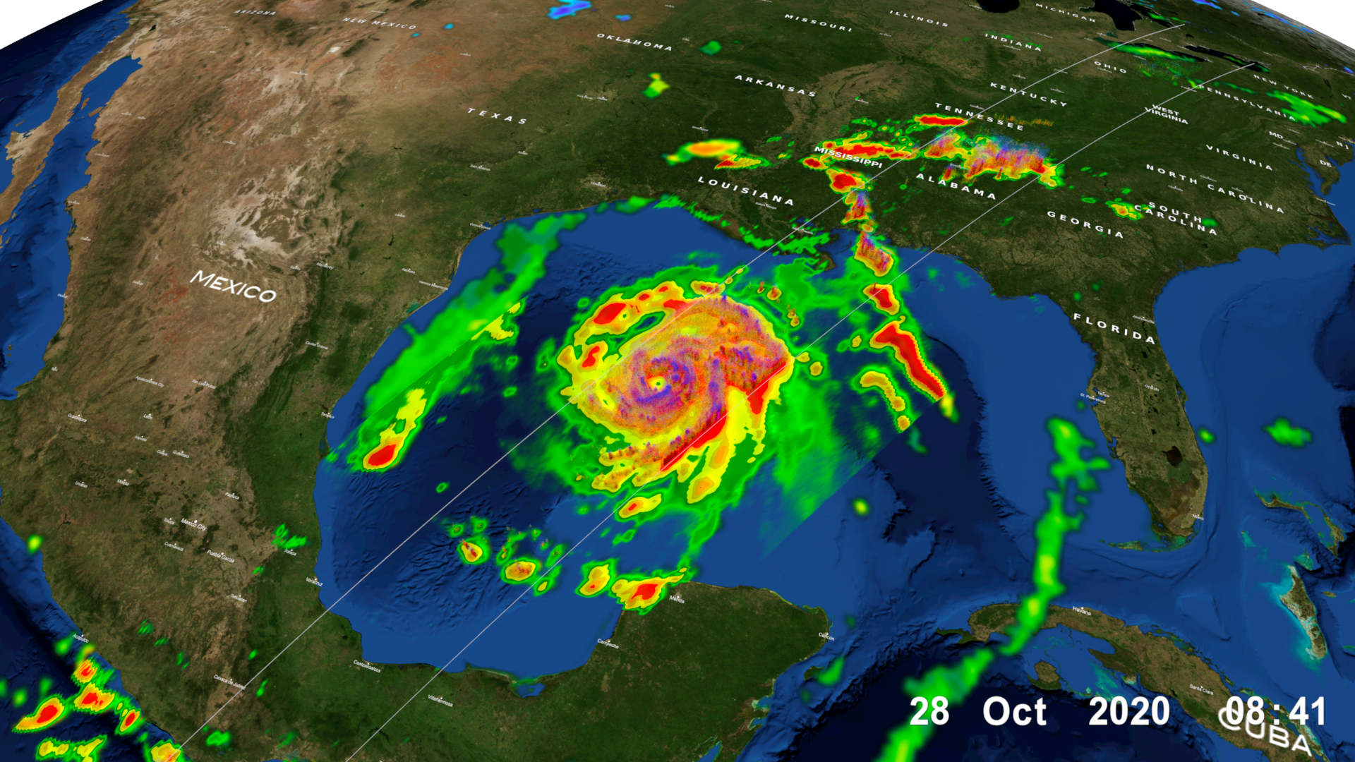
As Hurricane Zeta moves towards landfall on the U.S. Gulf Coast, NASA has eyes on the storm with an array of Earth-observing instruments, and stands ready to aid affected communities with critical data and analysis. If Zeta makes landfall as expected along the northern Gulf Coast, it will become the 7th named storm to do so in this record-breaking season, following Tropical Storm Cristobal, Hurricane Laura, Tropical Storm Marco, Hurricane Sally, Tropical Storm Beta, and Hurricane Delta. Tropical Storm Zeta is the 27th named storm of 2020, which ties the record with 2005 for the most named storms. As of Wednesday afternoon, the NHC is currently forecasting Zeta to make landfall along the southern coast of Louisiana Wednesday night as a Category 2 hurricane.
The NASA Earth Applied Sciences Disasters Program has activated in support of the event, and is working to determine what NASA resources and capabilities may be available to aid risk reduction, response and recovery. For Hurricanes Laura, Sally, and Delta, the Program worked closely with stakeholders from the Federal Emergency Management Agency (FEMA), the Louisiana National Guard, and the Alabama Emergency Management Agency to provide guidance and analysis both in meetings and through data distributed on the NASA Disasters Mapping Portal. Near real-time data for tracking the storm is also made available on the Portal’s Tropical Cyclone Dashboard. The Program stands ready to continue to work with these agencies and provide assistance for Hurricane Zeta should the need arise.