Date
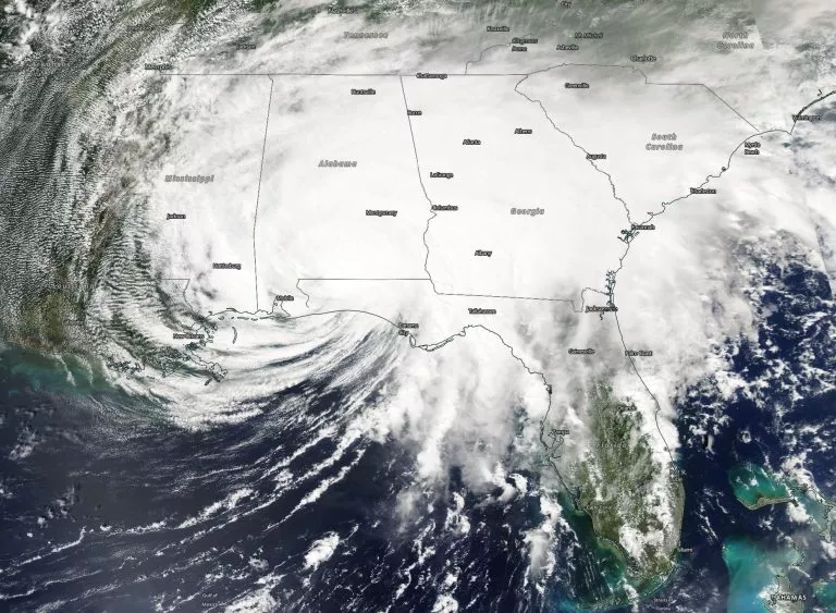
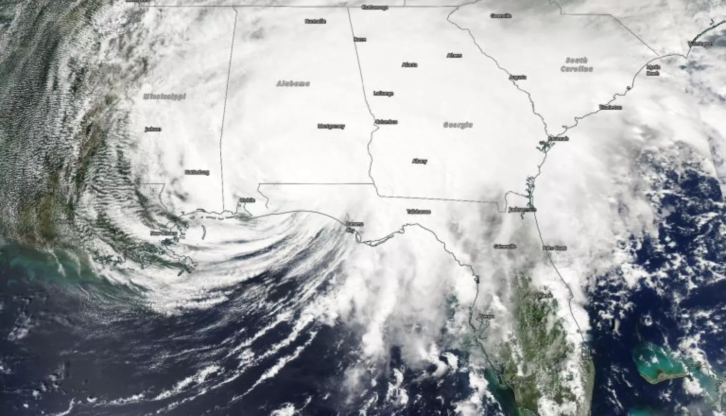
Hurricane Sally made landfall in Gulf Shores, Alabama the morning of September 16th, bringing heavy rainfall and flooding to the regions The NASA Earth Applied Sciences Disasters Program has activated in support of the event, and is working to determine what NASA resources and capabilities may be available to aid response and recovery. The Program is providing routine support at the request of the Federal Emergency Management Agency (FEMA) and is making Earth observing data products for Hurricane Sally available on the NASA Disasters Mapping Portal.