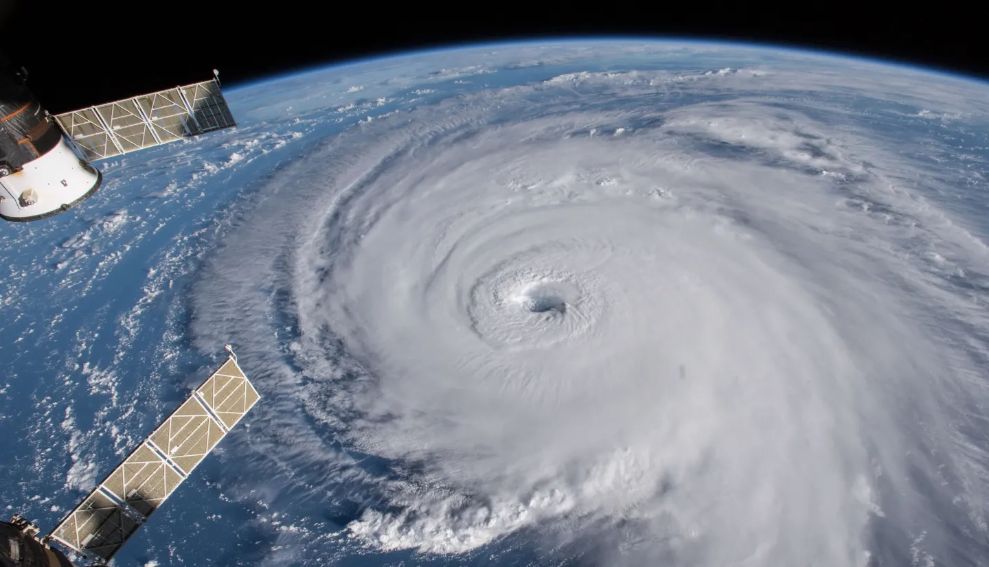
The damaging winds, prolonged heavy rains and coastal inundation caused by tropical cyclones and hurricanes often threaten populated areas like the islands of the Pacific, southeastern Asia and the eastern seaboard of the United States.
NASA Resources for Hurricanes & Cyclones:
Other Resources:
Cyclones and hurricanes usually develop in the summer months in low-latitude regions with very warm sea surface temperatures, high low-level humidity and low amounts of vertical wind shear.
NASA’s Global Precipitation Measurement mission (GPM) frequently observes tropical cyclones and hurricanes, and the Integrated Multi-Satellite Retrievals for GPM (IMERG) product maps their intense rainfall rates. Mapping heavy offshore rain rates can help responders understand what to expect after landfall, and improved identification of the storm’s center can help officials track the system and improve numerical weather prediction models.
Inland, rainfall estimates can be combined with streamflow and inundation models to understand flood risks resulting from the storm, and can be integrated with topographical models and other information to assess landslide threats. Following landfall, remote sensing from NASA’s Moderate Resolution Imaging Spectroradiometer (MODIS) and Visible Infrared Imaging Radiometer Suite (VIIRS) instruments aboard the Terra, Aqua, and Suomi Suomi-NPP satellites, or from the higher resolution views of the USGS / NASA Landsat missions are able to map the extent and severity of flooding.
These platforms can also be used to map widespread damage to vegetation and treefall over time, and monitor ecosystem recovery in the years that follow through consistent and continued imaging of the affected area.

