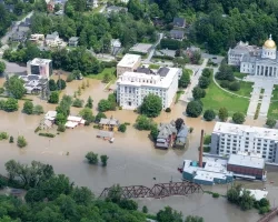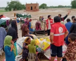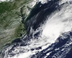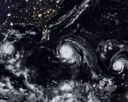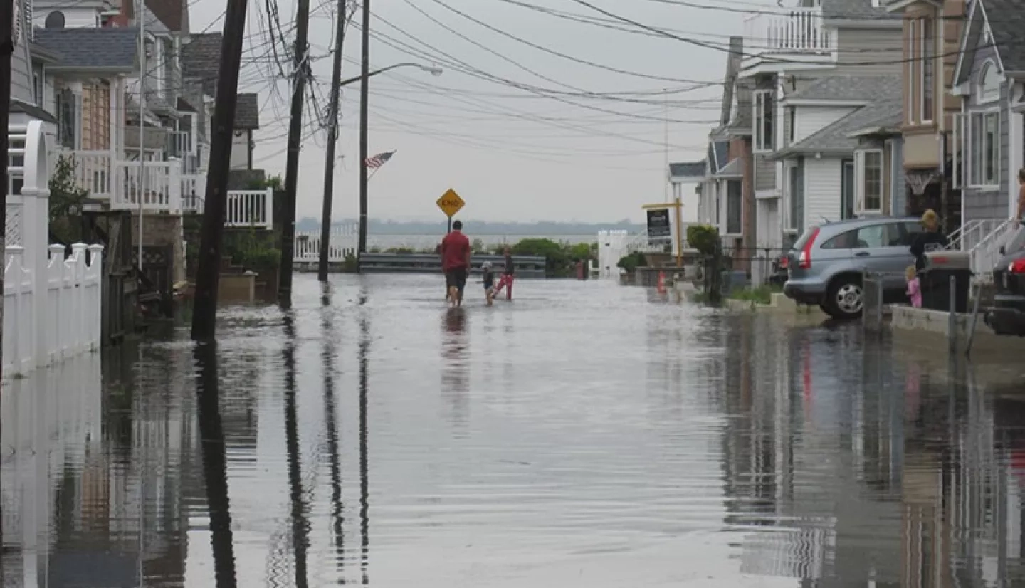
Floods are the most common natural disaster worldwide — and in the United States, they result in more loss of life and property than any other.
Recent studies highlight how local investments in simple flood preparations can prevent as much as 70% of property damage during a flood. But to achieve those benefits on a global scale, we need better data, better modeling and a deeper understanding of flood exposure.
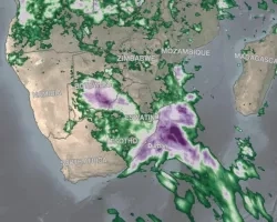
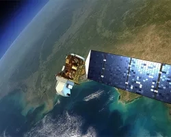
That’s why NASA’s fleet of Earth-observing satellites is helping scientists and decision-makers improve prediction of, preparation for, response to and recovery from floods. NASA flood preparedness and response capabilities include satellite observations, data systems and modeling. Learn more about the NASA instruments and tools helping local communities in pre-flood, active and post-flood situations:
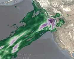
Global Flood Prediction & Warning
- Global Modeling and Assimilation Office (GMAO)
- Global Flood Monitoring System (GFMS)
- Real-Time Land Information System (LIS)
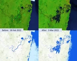
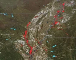
Global Flood Mapping & Damage Assessment
- Near Real Time (NRT) MODIS Flood Mapping
- ISS Handheld Digital Camera Photography
- Advanced Rapid Imaging and Analysis (ARIA) Center for Natural Hazards
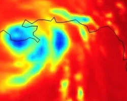
EARTH OBSERVING DATA
NASA DISASTERS MAPPING PORTAL
The NASA Disasters Mapping Portal is a powerful online interface for viewing, analyzing, and downloading the latest near real-time and disaster specific products in Geographic Information Systems (GIS) format. The Portal provides a variety of near real-time and event-specific products for monitoring the impacts of floods to support disaster response and recovery.
For a full list of NASA Disasters Mapping Portal products for floods, please refer to the NASA Disasters Mapping Portal Product Guide
To learn more about NASA data products available to support floods, visit NASA EarthData Floods Toolkit.